
What is recorded here
In pasture on the summit of a low SE-facing rise skirted by a minor road to the S, and c. 50m to the W of a small S-flowing tributary of the Inagh River. Hachured and labelled ‘Lissydeela’ on both the first (1840) and Cassini (1916) editions of the OS 6-inch map. Westropp (1910, 3) linked the site-name to the literary figure Daelech, one of a group of Firbolg displaced to the western Irish seaboard. Classified as an enclosure in the RMP (1996). A subcircular bivallate rath (42m ESE-WNW) is defined by a substantial inner flat-topped earth-and-gravel bank (Wth 2-3m; int. H 2.1m; ext. H 1m), a fosse (Wth 4.5m) and a second, outer bank (Wth 3-4m; int. H 2m; ext. H 0.4m). The enclosing elements are heavily overgrown and the interior slopes gently down to SE.
Compiled by: Gearóid Conroy and Eve Campbell
Date of upload: 8-10-2025
Lissydeela, Knockbrack is a likely early-medieval ringfort situated on a low rise in pastureland, identified on 19th-century maps. Local tradition associates such sites with fairy lore, and it may have been considered a place of supernatural significance in folklore.
The monument record does not grant public access. Check the route and ask the landowner before entering private land.
- What survives
- Recorded monument
Places near here
 IndicatedFairy fort / earthen ringfort · 766 yd
 Kilmanahn GraveyardRuins · 1054 yd
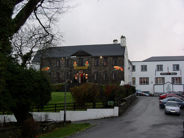 Ennistimon Househouse · 1299 yd
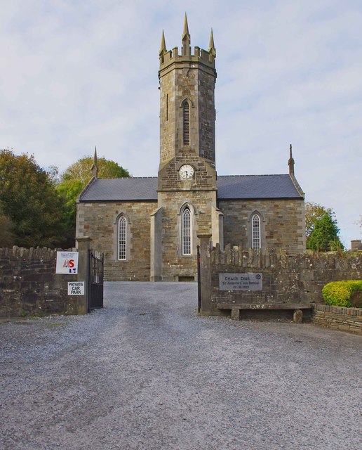 An Teach Ceoilchurch/chapel · 1348 yd
 Famine MemorialMemorial · 1446 yd
 Children's Burial GroundArchaeological place · 1499 yd
 Glen Castle (in Ruins)Castle, tower house · 1.6 mi
 Site of Tullamore CastleCastle, unclassified · 1.6 mi
 Lahinch BeachBeach / strand · 2.2 mi
 TullygarvanWood · 3.0 mi
 John P. Holland CentreMuseum · 3.7 mi
 Burren Centre KilfenoraVisitor information · 4.7 mi
Other information
Photo: Credit not shown in the picture search · Rights wording not checked; contact us if this picture should be removed