What is recorded here
Lissawoanbra was a fairy fort on a west-facing slope in County Cork, marked as a twenty-five-metre oval on an 1842 map before human hands levelled its bank. A stone-faced trackway still cuts eastward, perhaps preserving part of the original ridge, while an underground passage waits below. The fairies kept their own fortress there, hiding beneath the soil when people came to build or plough. What remains is a ghost of a border, the kind of place where the ground still remembers being owned by someone else.
On W-facing slope. Shown as roughly oval enclosure (diam. c. 25m N-S; c. 15m E-W) on 1842 OS 6-inch map named 'Lissawoanbra'. Levelled; earthen stone-faced trackway to E may retain part of original bank. No other surface trace. Associated with Man-made underground passage (CO044-04402-).
The above description is derived from the published 'Archaeological Inventory of County Cork. Volume 2: East and South Cork' (Dublin: Stationery Office, 1994). In certain instances the entries have been revised and updated in the light of recent research.
Date of upload/revision: 14 January 2009
The monument record does not grant public access. Check the route and ask the landowner before entering private land.
- What survives
- Recorded monument
Places near here
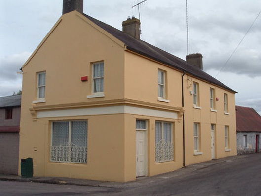 post officepost office · 361 yd
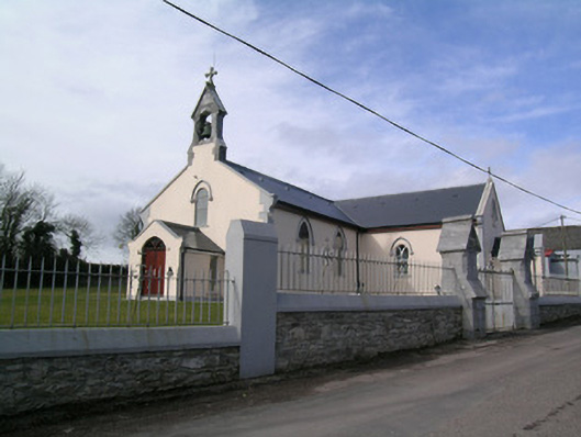 Saint Bartholomew's Churchchurch/chapel · 404 yd
 Rathcormac massacremassacre · 583 yd
 St Bartholomews WellHoly well · 1013 yd
 IndicatedFairy fort / earthen ringfort · 1569 yd
 Tower (in Ruins)Bawn · 1.3 mi
 Devonshire's HillMountain / peak · 1.7 mi
 Monananig WoodsWood · 2.2 mi
 Barrymore Castle or Castle LyonsHouse, fortified house · 3.0 mi
 Moanbaun ForestForest · 3.6 mi
 Pope's WellSpring · 4.2 mi
 Coole WellVisitor information · 5.0 mi