
Places near here
Photo credits
- National Inventory of Architectural Heritage
- Picturesque Views of the Antiquities of Ireland (1830); artist unrecorded, Wikimedia Commons · Public domain
- This file is from the Mechanical Curator collection , a set of over 1 million images scanned from out-of-copyright books and released to Flickr Commons by the British Library. View image on Flickr View all images from book View catalogue entry for book ., Wikimedia Commons · Public domain
- Willow, Wikimedia Commons · CC BY 2.5
- Peter Gerken, Wikimedia Commons · CC BY-SA 2.0
- EecherplazGinkgo06.jpg : Cayambe derivative work: Ginkgotree ( talk ), Wikimedia Commons · CC BY-SA 3.0
- Colin Park, Geograph · CC BY-SA 2.0
- Adareman, Wikimedia Commons · CC BY-SA 4.0
- Callanmurphy, Wikimedia Commons · CC BY-SA 4.0
Explorer Tom Lissaborteale would ace any job interview with that impressive three-metre external bank and all the confidence to match. It’s got a proper entrance gap for VIPs only. Stand where the owner stood and practise looking smug.
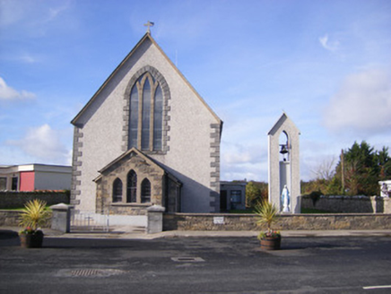 Catholic Church of Saint John the BaptistChurch/chapel · 1213 yd
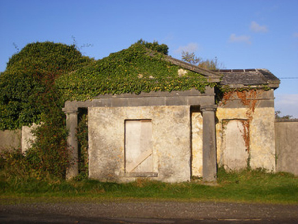 BallywilliamGate lodge · 1.0 mi
Explorer Tom Ballywilliam gate lodge in Ballywilliam Demesne looks like it wandered in from another century. The Doric columns are showing off, probably thinking they’re the main house. I bet it ended up here by accident and just liked the view. Stand where the owner
Flat cemetery in CroaghFlat cemetery · 1.0 miExplorer Tom Flat cemetery in Croagh smells like ancient ash and pure mystery, according to my very scientific nose. A pipeline dug up one little pit, so it’s basically a gas leak with history. Bring a map, get lost anyway, that's the fun.
 Cappagh Castle (in ruins)Castle, tower house · 1.8 mi
Explorer Tom Cappagh Castle is sick of being asked why only one wall is left standing; it says the others just quit. It’s basically a very tall, lonely slice of history sitting on a rock. Visit, then text me what you think. I'll pretend to read it.
 Cappagh CastleCastle · 1.8 mi
 European ash4.2 mi
Explorer Tom European ash makes a creaking sound at night that sounds exactly like someone judging your life choices. It’s just a tree, but it acts like it has a podcast. Take a breath of that air, it's older than your car.
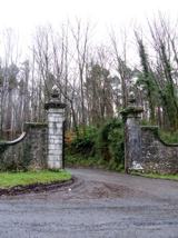 Curraghchase Forest ParkForest · 4.8 mi
 Ginkgo5.1 mi
Explorer Tom Ginkgo in County Limerick is secretly proud of a potato it planted in 1952 that never sprouted. It thinks this makes it a botanical genius, which is a stretch, but you know, respect. A good place to forget your phone for ten minutes.
 KnockfeerinaMountain / peak · 5.1 mi
 Desmond CastleHeritage attraction · 5.2 mi
 Franciscan AbbeyArchaeological place · 5.4 mi
More archaeology and monuments in County Limerick · All of County Limerick

What do you know about this place?Tap to add a comment or ask a question