
What is recorded here
In undulating pasture, on SE-facing slope below brow of low rise, immediately N of public road. Circular area (diam. c. 45m) enclosed by earthen bank with external fosse (Wth 2m; D 1.25m). Bank (int. H 1.45m; ext. H 3m), heavily masked by dense overgrowth, is best preserved along SW arc. Fosse widens and shallows along E side (Wth 4m; D 0.45m). Break in bank (Wth 2.8m) at WNW is matched by recently constructed causeway across fosse. Band of short yellow grass (Wth c. 3m) runs along outer edge of fosse NW->NE. Interior is completely covered by dense overgrowth. A field boundary skirts outer edge of fosse on E side.
Compiled by: Denis Power
Date of upload: 26 August 2011
The monument record does not grant public access. Check the route and ask the landowner before entering private land.
- What survives
- Recorded monument
Places near here
 Bawn in Amogan MoreBawn · 1089 yd
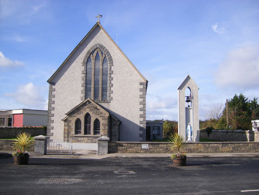 Catholic Church of Saint John the Baptistchurch/chapel · 1209 yd
 Castle (in ruins)Castle, unclassified · 1326 yd
 Church (in Rns)Church · 1342 yd
 Grave YardGraveyard · 1344 yd
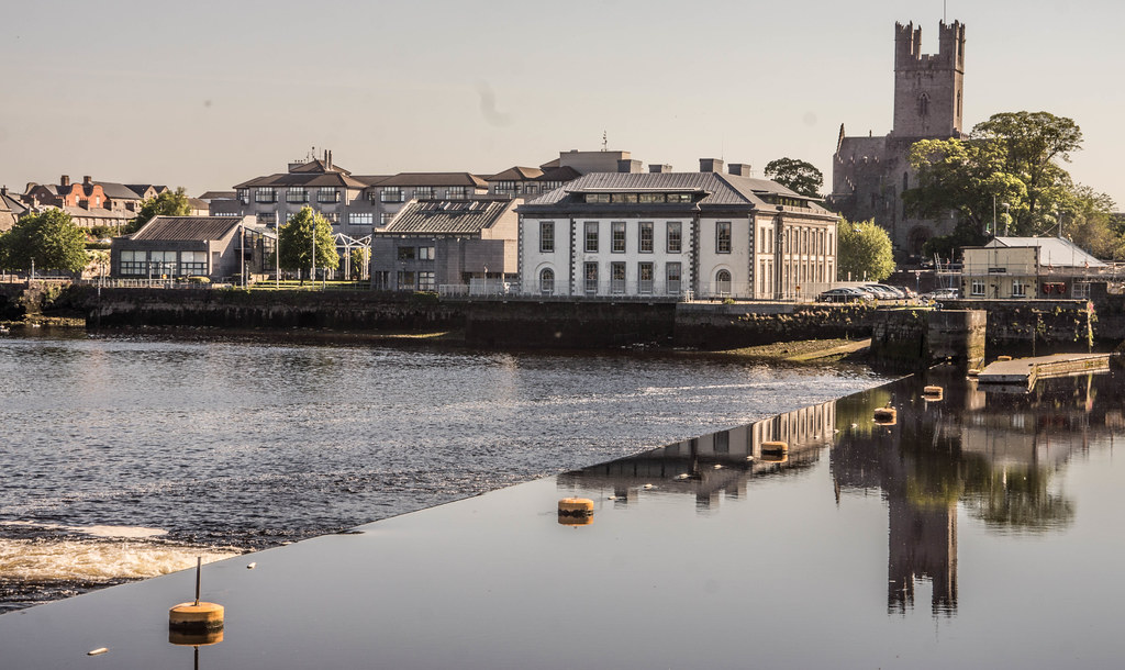 IndicatedFairy fort / earthen ringfort · 1725 yd
 Flat cemetery in CroaghFlat cemetery · 1.0 mi
 Flat cemetery in Kiltenan SouthFlat cemetery · 2.3 mi
 TobernablahySpring · 3.9 mi
 European ashEuropean ash · 4.2 mi
 Little HeavenHeritage attraction · 4.3 mi
 Kinnoor WellSpring · 4.7 mi
Other information
Photo: Credit not shown in the picture search · Rights wording not checked; contact us if this picture should be removed