
What is recorded here
Lissakerry Fort is a ruined earthen ring on a Longford hillock where the boundary between human and fairy life became impossible to separate. People built or inherited the circle, but the circle may have belonged to the fairies all along. The lost entrance, the tilted ground and the quiet pasture around it suggest a place where human rules stopped applying.
On a hillock in pasture. Depicted on the 1837 ed. of the OS 6-inch map as a roughly circular ringfort with a curving bank-like annexe feature to the NE. This subsequently served as an access way through the fort to the house as is indicated on the OS 25-inch plan (surveyed 1911). An oval-shaped area (c. 35m E-W; c. 31m N-S) is defined by an irregular scarp (H 1-2m), except from NW-N-NE where a portion of it has been quarried away. A report in 1978 (SMR file) noted an outer scarp from ENE-E-SE that is no longer visible. The original entrance is not recognisable. The internal ground level rises from the perimeter towards the centre of the interior.
Compiled by: Patrick F. O'Donovan
Date of upload: 21 February 2012
The monument record does not grant public access. Check the route and ask the landowner before entering private land.
- What survives
- Recorded monument
Places near here
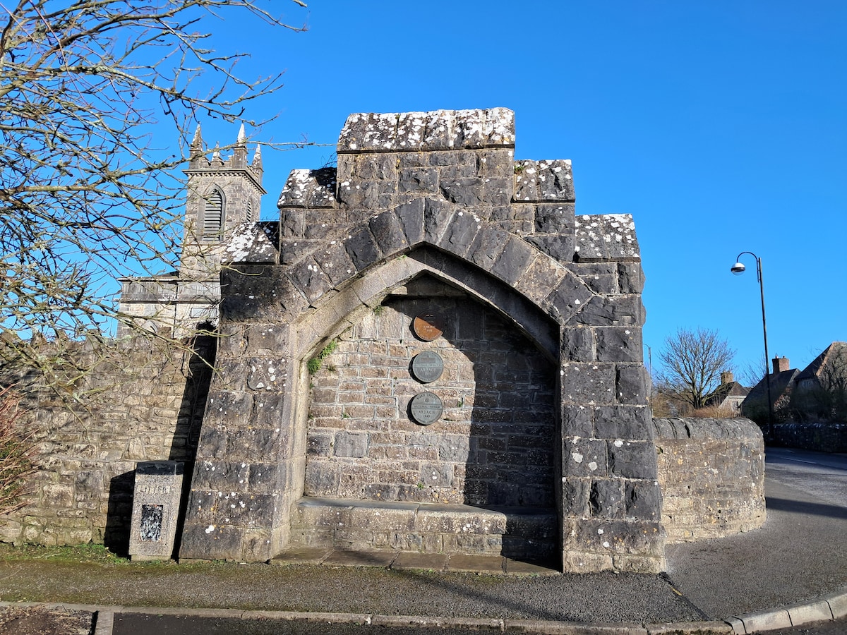 Enclosure in Cloonagh (granard By.)Enclosure · 977 yd
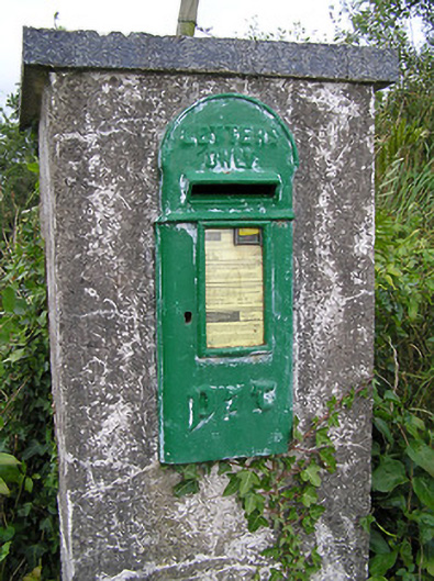 post boxpost box · 1247 yd
 BarrowBarrow, mound barrow · 1625 yd
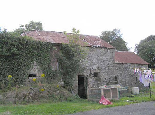 Clooneen Millmill (water) · 1742 yd
 Derrycassan WoodsWood · 1.4 mi
 ToomeMountain / peak · 1.8 mi
 CartronfreeMountain / peak · 2.1 mi
 InchmoreIslet · 2.3 mi
 IdicatedCastle, unclassified · 2.8 mi
 Cornamucklagh WoodlandWood · 3.0 mi
 Bakers FortCastle, ringwork · 3.0 mi
 1798 Monumentmonument · 3.0 mi
Other information
Photo: Credit not shown in the picture search · Rights wording not checked; contact us if this picture should be removed