
What is recorded here
On a low rise. Depicted as a small circular enclosure with the designation 'Fort' on the 1837 ed. of the OS 6-inch map. The depiction of the site on the 1913 ed. suggests that it may have been a small mound, possibly a burial mound. The site has been levelled and is not visible at ground level.
Compiled by: Patrick F. O'Donovan
Date of upload: 26 August 2011
Mound barrow, likely dating to the Early Bronze Age. Its depiction on 19th-century maps suggests possible survival of a prehistoric funerary or ritual site, though its exact significance remains unclear due to limited documentation.
The monument record does not grant public access. Check the route and ask the landowner before entering private land.
- What survives
- Recorded monument
Places near here
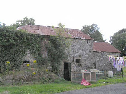 Clooneen Millmill (water) · 166 yd
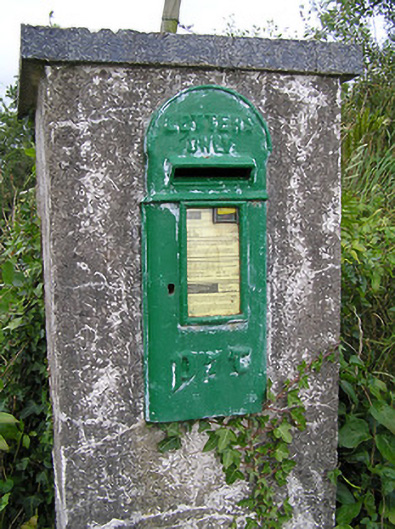 post boxpost box · 381 yd
 Enclosure in DalystownEnclosure · 1121 yd
 Lissakerry FortFairy fort / earthen ringfort · 1626 yd
 CartronfreeMountain / peak · 1.2 mi
 ToomeMountain / peak · 1.9 mi
 IdicatedCastle, unclassified · 2.2 mi
 Derrycassan WoodsWood · 2.3 mi
 Bakers FortCastle, ringwork · 2.5 mi
 1798 Monumentmonument · 2.6 mi
 Granard MotteMotte-and-bailey castle remains · 2.6 mi
 InchmoreIslet · 3.2 mi
Other information
Photo: Credit not shown in the picture search · Rights wording not checked; contact us if this picture should be removed