
What is recorded here
On a hillock in pasture. Depicted on the 1837 ed. of the OS 6-inch map as a roughly circular ringfort with a curving bank-like annexe feature to the NE. This subsequently served as an access way through the fort to the house as is indicated on the OS 25-inch plan (surveyed 1911). An oval-shaped area (c. 35m E-W; c. 31m N-S) is defined by an irregular scarp (H 1-2m), except from NW-N-NE where a portion of it has been quarried away. A report in 1978 (SMR file) noted an outer scarp from ENE-E-SE that is no longer visible. The original entrance is not recognisable. The internal ground level rises from the perimeter towards the centre of the interior.
Compiled by: Patrick F. O'Donovan
Date of upload: 21 February 2012
The monument record does not grant public access. Check the route and ask the landowner before entering private land.
- What survives
- Recorded monument
Places near here
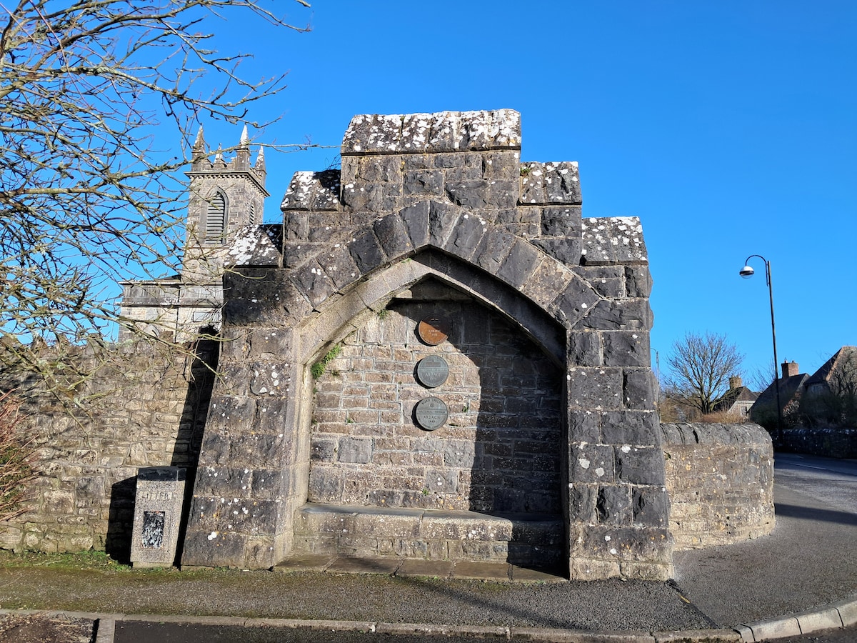 Enclosure in Cloonagh (granard By.)Enclosure · 977 yd
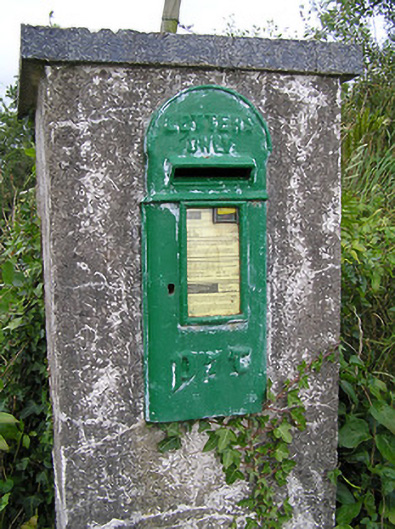 post boxpost box · 1247 yd
 BarrowBarrow, mound barrow · 1625 yd
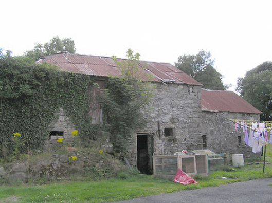 Clooneen Millmill (water) · 1742 yd
 Derrycassan WoodsWood · 1.4 mi
 ToomeMountain / peak · 1.8 mi
 CartronfreeMountain / peak · 2.1 mi
 InchmoreIslet · 2.3 mi
 IdicatedCastle, unclassified · 2.8 mi
 Cornamucklagh WoodlandWood · 3.0 mi
 Bakers FortCastle, ringwork · 3.0 mi
 1798 Monumentmonument · 3.0 mi
Other information
Photo: Credit not shown in the picture search · Rights wording not checked; contact us if this picture should be removed