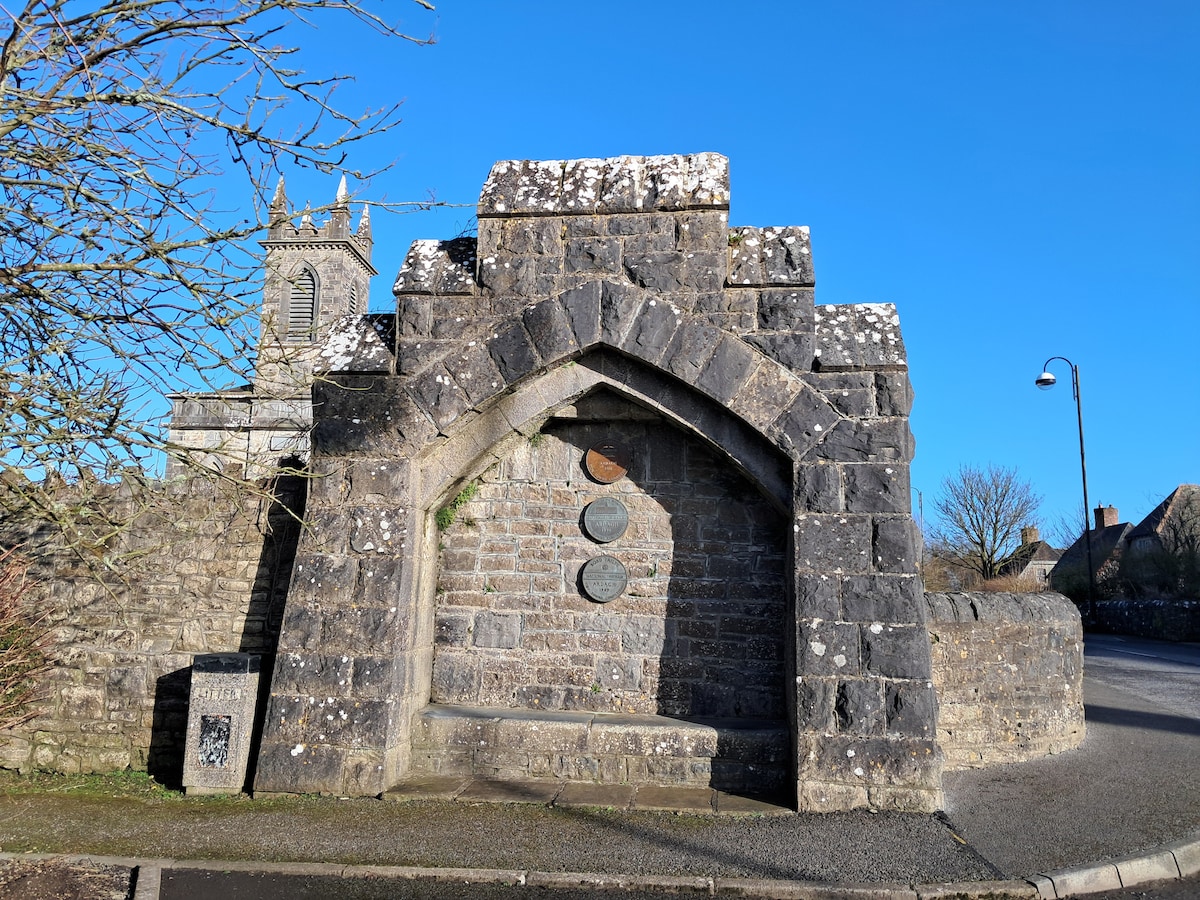
What is recorded here
On a SW-facing slope in pasture. Depicted as an oval enclosure with the designation 'Fort' on the 1837 ed. of the OS 6-inch map. A large oval area (76m NW-SE; 62m NE-SW) enclosed from NE-E-S by a bank of earth and stone (Wth 5m; H 0.3-1.3m) and from SW-WSW-W by a scarp (H 1-1.4m). Elsewhere no visible trace of the enclosing element survives. A fosse (Wth 3.5-4m; D 0.5-0.9m) is evident from N-S-SW. The original entrance is not recognisable. Within the interior are the remains of a 19th-century house and garden.
Compiled by: Patrick F. O'Donovan
Date of upload: 23 January 2012
This remains an important historical record, but the official description says the monument is no longer visible or has been destroyed. The monument record does not grant public access. Check the route and ask the landowner before entering private land.
- What survives
- No visible remains or recorded as destroyed
Places near here
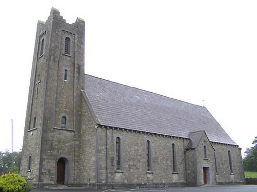 Saint Columba's Catholic Churchchurch/chapel · 843 yd
 Lissakerry FortFairy fort / earthen ringfort · 977 yd
 St. Columbas R.C. ChurchChurch · 1183 yd
 Derrycassan WoodsWood · 1.2 mi
 Ritual siteRitual site, holy tree/bush · 1.3 mi
 ToomeMountain / peak · 1.5 mi
 InchmoreIslet · 2.2 mi
 CartronfreeMountain / peak · 2.4 mi
 Cornamucklagh WoodlandWood · 2.4 mi
 IdicatedCastle, unclassified · 2.8 mi
 Scrabby IslandIslet · 3.0 mi
 Cloone Ho.Castle, unclassified · 3.1 mi
Other information
Photo: Credit not shown in the picture search · Rights wording not checked; contact us if this picture should be removed