
What is recorded here
Situated on a low broad rise in mature coniferous forestry within the demesne of Lissadell House. Oval slightly raised area (dims. 25m E-W; 18m N-S) enclosed by an irregular disturbed bank of earth and stone (Wth 2.3m; int. H 1m; ext. H 0.5m). There is no fosse visible at ground level. The original entrance is not recognisable. A large roughly rectangular stone (dims. L 1.2m; Wth 0.8m; T 0.5m) of uncertain significance lies on top of the bank at NNW.
Compiled by: Patrick F. O'Donovan
Date of upload: 21 April 2011
A local fairy fort (ringfort/rath); wider significance not recorded.
The monument record does not grant public access. Check the route and ask the landowner before entering private land.
- What survives
- Recorded monument
Places near here
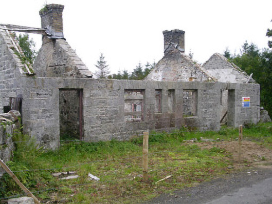 Lissadell Houseforge/smithy · 504 yd
 Forester's WoodForest · 543 yd
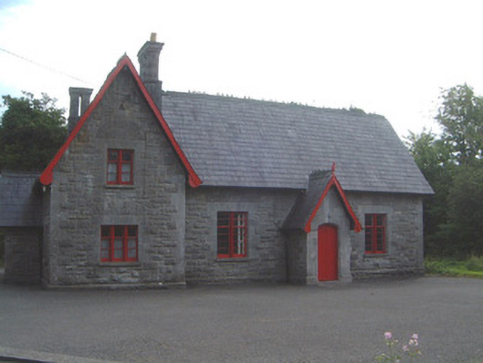 Lissadell National Schoolschool · 771 yd
 Fulacht fia in BallygilganFulacht fia · 801 yd
 Church Hill WoodWood · 809 yd
 Castle (Site of)Castle, unclassified · 895 yd
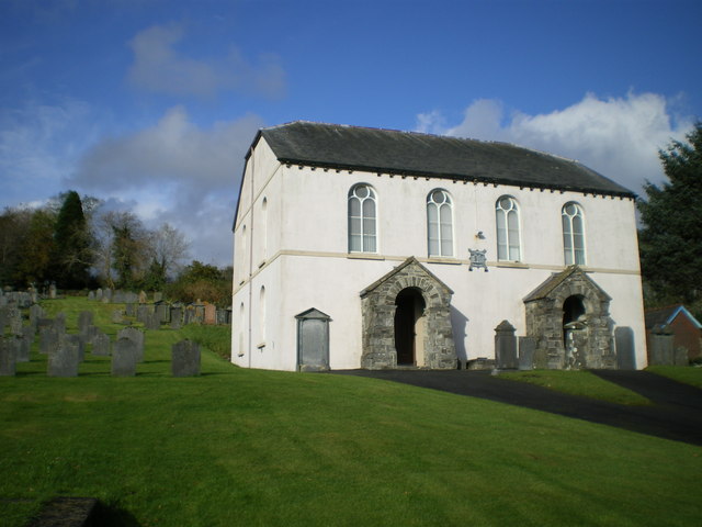 Bunbrenoge Chapel (Site of)Church · 965 yd
 Bawn in DoonforeBawn · 1265 yd
 Finned PointHeadland · 1.8 mi
 Drumcliff BayBay · 1.8 mi
 Ardtermon StrandBeach / strand · 2.5 mi
 Rosses Point BeachBeach / strand · 3.0 mi
Other information
Photo: Credit not shown in the picture search · Rights wording not checked; contact us if this picture should be removed