
What is recorded here
On a rise in undulating pastureland. This well-preserved concentric enclosure (diam. c. 43.3m) is defined by an inner bank and fosse which are separated from the outer bank and fosse by a flat berm (Wth c. 10m). The inner bank and fosse have been quarried out at NE and ESE. The outer bank is visible all round but the outer fosse only survives from S through W to NW. There is a stone-lined causewayed entrance gap (Wth 6m) at S. A field boundary cuts through the outer bank at WNW and SSW. Within the E sector and SW quadrant of the interior are the foundations of three possible house sites (GA095-086001-, GA095-086002- and GA095-086003-). An internal division, defined by a grassed-over bank, is evident in the NE quadrant; all these features were noted by Westropp (1919, 174-5). A Man-made underground passage (GA095-086004-) is also associated Athy (1914, 134). (McCaffrey 1952, 136, no. 34; CUCAP AVN, 13)
Compiled by: Olive Alcock
Date of upload: 26 February 2018
The monument record does not grant public access. Check the route and ask the landowner before entering private land.
- What survives
- Recorded monument
Places near here
 TobersruhlinHoly well · 429 yd
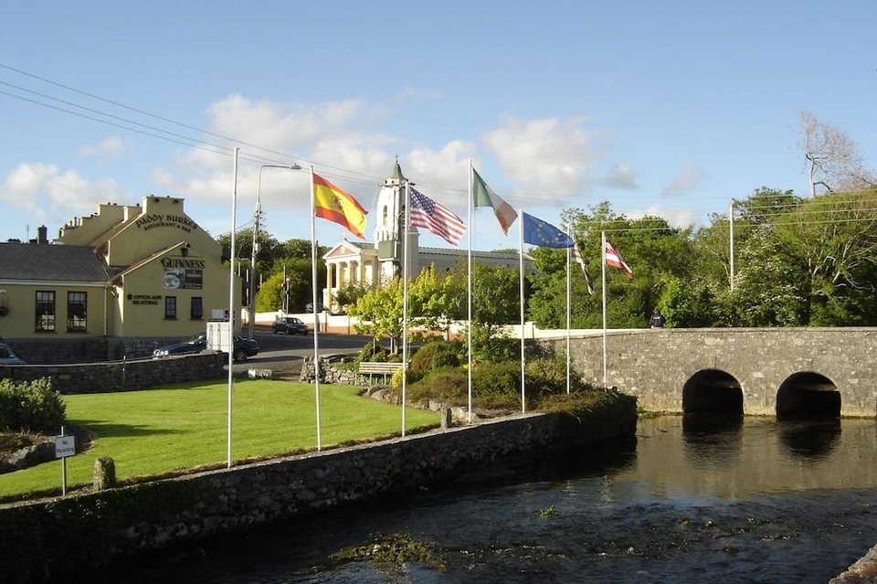 LissruhlinFairy fort / ringfort · 480 yd
 IndicatedChurch · 758 yd
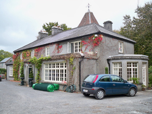 Rockhill Househouse · 1275 yd
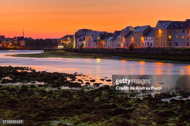 Bawn in Cregganna MoreBawn · 1713 yd
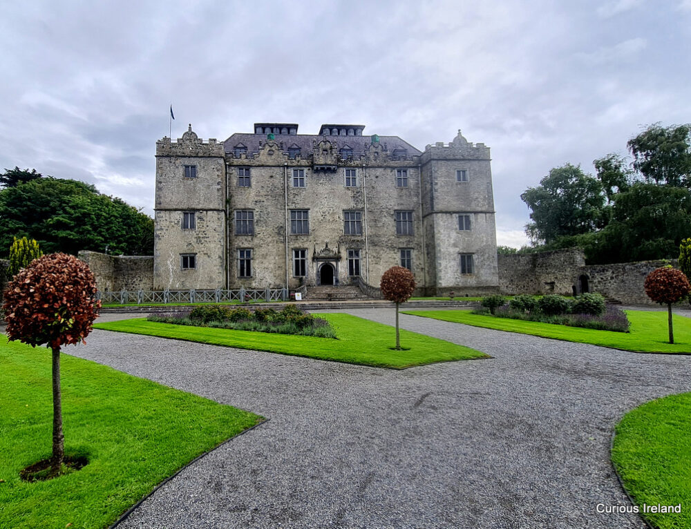 Moneyduff Castle (Site of)Castle, unclassified · 1.1 mi
 Loughaun WoodWood · 1.8 mi
 Kilcornan ForestWood · 2.4 mi
 Leadmine HillMountain / peak · 3.4 mi
 Drumacoo Monastic SiteHeritage attraction · 3.8 mi
 MweenisharanIslet · 4.0 mi
 Mweenish PointHeadland · 4.4 mi
Other information
Photo: Credit not shown in the picture search · Rights wording not checked; contact us if this picture should be removed