What is recorded here
On a low yet prominent rise, c, 450m E of the Clare River. Well-preserved roughly rectangular moated site (N-S 44m, E-W 37m) defined by a bank and external fosse. A gap and possible causeway at S may be original. Traces of two smaller rectangular enclosures lie within the interior at W and NW. II - North Galway'.
From the National Monuments Service (Archaeological Survey of Ireland) record GA070-040
The monument record does not grant public access. Check the route and ask the landowner before entering private land.
- What survives
- Recorded monument
Places near here
Photo credits
- Graham Horn, Geograph · Creative Commons Attribution-ShareAlike 2.0
- National Inventory of Architectural Heritage
- Malene Thyssen, Wikimedia Commons · CC BY-SA 3.0
- Julie Anne Workman, Wikimedia Commons · CC BY-SA 3.0
- Mike Searle, Geograph · CC BY-SA 2.0
- Mike Searle, Wikimedia Commons · CC BY-SA 2.0
- Ingo Mehling, Wikimedia Commons · CC BY-SA 3.0
- Andreas F. Borchert, Wikimedia Commons · CC BY-SA 4.0
- Graham Horn, Geograph · CC BY-SA 2.0
 Grave YardGraveyard · 1572 yd
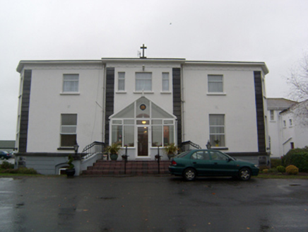 Cuan MhuireHouse · 1.1 mi
 Lackagh Museum and Heritage CentreHouse · 1.2 mi
 Cuan MhuireGate lodge · 1.3 mi
 European Beech1.7 mi
 Common Whitebeam4.1 mi
 Belleville CastleCastle · 4.2 mi
_(geograph_1953877).jpg/250px-Castles_of_Connacht-_Corrofin,_Galway_(2)_(geograph_1953877).jpg "Photo: Mike Searle, Wikimedia Commons · CC BY-SA 2.0") Corrofin CastleCastle · 4.9 mi
Corrofin CastleCastle · 4.9 mi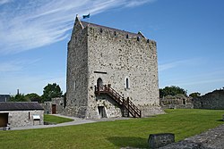 First Battle of AthenryBattle · 6.0 mi
 Check mapCross, Market cross · 6.6 mi
 Athenry CastleHeritage attraction · 6.6 mi
 Athenry AbbeyHeritage attraction · 6.7 mi
More archaeology and monuments in County Galway · All of County Galway
What do you know about this place?