
What is recorded here
In flat reclaimed farmland, formerly demesne land. Marked on the 1838 edition of the OS 6-inch map as a roughly circular enclosure planted with fir trees and named 'Lisnatrap Fort'; on the OS 1:2500 plan (surveyed 1912-16) it is depicted as a walled mixed tree plantation. The wall appears to overlie an enclosing bank from NW to NE and from SE to SW. On inspection in November 1967 the bank was barely perceptible and several old trees were growing along its perimeter (SMR file). On re-inspection in April 1983 no visible surface trace survived, however, its outline is visible on the OSi digitalglobe aerial photograph (Google 2018). Possibly a rath that was subsequently reused as a landscape feature.
Compiled by: Olive Alcock
Date of upload: 20 June 2019
Lisnatrap Fort is a ringfort, likely dating to the early medieval period, situated in what was once demesne land. It is marked on 19th-century Ordnance Survey maps and is associated with the name "Lisnatrap," though specific folklore or historical events connected to the site are not recorded.
The monument record does not grant public access. Check the route and ask the landowner before entering private land.
- What survives
- Recorded monument
Places near here
 Skycur Househouse · 263 yd
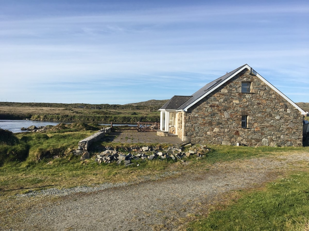 Enclosure in SkecoorEnclosure · 431 yd
 Enclosure in Ballydonagh (longford By.)Enclosure · 448 yd
 BallydonaghHouse, 18th/19th century · 623 yd
 European YewEuropean Yew · 1.8 mi
 European BeechEuropean Beech · 1.9 mi
 MoatCastle, motte and bailey · 2.3 mi
 Ballymore CastleCastle, tower house · 2.3 mi
 Redmond HillMountain / peak · 3.8 mi
 The bloody HollowHeritage attraction · 5.7 mi
 Urraghry HillMountain / peak · 5.8 mi
 Battle of AughrimMajor battlefield · 5.9 mi
Other information
Photo: Credit not shown in the picture search · Rights wording not checked; contact us if this picture should be removed