What is recorded here
No fairy ever built the Kiltormer East fort, though people wanted to believe it. A human hand raised a thirty-one metre earth bank on the ridge, then hawthorn and time softened the edge until the boundary became a rumour. The narrow southwest gap may have been the entrance, or merely the place where the wall first failed.
On the crest of a prominent ridge in level grassland. Circular rath (diam. 31m), in fair condition, defined by a bank overgrown with hawthorn trees and bushes. A gap (Wth 2.5m) at SW may be original.
Compiled by: Galway Archaeological Survey, UCG
Date of upload: 9 January 2018
The monument record does not grant public access. Check the route and ask the landowner before entering private land.
- What survives
- Recorded monument
Places near here
 indicatedEnclosure · 607 yd
 Church in Kiltormer WestChurch · 1093 yd
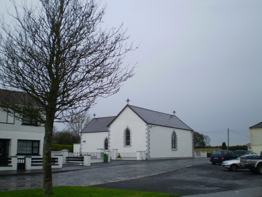 Saint Patrick's Catholic Churchchurch/chapel · 1238 yd
 MonumentMonumental structure · 1279 yd
 European YewEuropean Yew · 1524 yd
 European BeechEuropean Beech · 1.1 mi
 MoatCastle, motte and bailey · 1.4 mi
 Bawn in Cooltymurraghy (clonmacnowen By.)Bawn · 2.6 mi
 The bloody HollowHeritage attraction · 4.5 mi
 Urraghry HillMountain / peak · 4.6 mi
 Redmond HillMountain / peak · 4.6 mi
 Battle of AughrimMajor battlefield · 4.7 mi