
What is recorded here
Strategically located on a slight rise between two streams in gently undulating grassland, this motte and bailey is defined by a well-preserved but densely overgrown motte which consists of a steep-sided flat-topped circular mound (diam. 24.6m; max. H 6.5m) surrounded by a wide fosse (Wth 3.8-6.1m); the latter is best preserved from NW to SE. The 1947 edition of the OS 6-inch map indicates that the motte occupies the N end of a roughly subrectangular bailey (c. 110m NE-SW; c. 80m NW-SE). It is defined by a bank (base Wth 7.1m; Wth at top 1m; int. H 2.2m; ext. H 1.2m) from NW through N to SSE and by another short stretch of a bank immediately outside the fosse at SW; otherwise no visible surface trace survives. Gaps occur at WNW and SSE and, according to local information, a stream flowed around the fosse through these at one time. On the 6-inch map the line of hachures indicating the NW side of the bailey culminates in a small circular mound (diam. c. 10m) at SW. Again, according to local information, an ‘army colonel’ was buried here. No visible surface trace of it survives.
Compiled by: Galway Archaeological Survey, UCG
Date of upload: 11 December 2019
Built by a Norman lord in the 12th century, Moat, Moaty served as a strategic defensive and administrative center during the early medieval colonization of the region. Its well-preserved motte highlights its importance in local military and territorial control.
The monument record does not grant public access. Check the route and ask the landowner before entering private land.
- What survives
- Recorded monument
Places near here
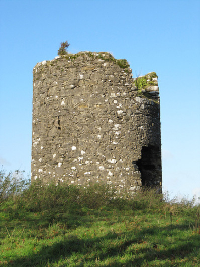 Eyrevillemill (wind) · 972 yd
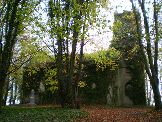 Saint Thomas's Church (Kiltormer)church/chapel · 1022 yd
 Enclosure in CoxtownEnclosure · 1223 yd
 LisnabitteenFairy fort / earthen ringfort · 1.0 mi
 Bawn in Cooltymurraghy (clonmacnowen By.)Bawn · 1.5 mi
 European YewEuropean Yew · 1.9 mi
 European BeechEuropean Beech · 2.0 mi
 Park CastleCastle, hall-house · 2.1 mi
 The bloody HollowHeritage attraction · 3.9 mi
 Battle of AughrimMajor battlefield · 4.1 mi
 Urraghry HillMountain / peak · 4.4 mi
 Battle of Aughrim Interpretative CentreMuseum · 4.7 mi
Other information
Photo: Credit not shown in the picture search · Rights wording not checked; contact us if this picture should be removed