What is recorded here
From the National Monuments Service (Archaeological Survey of Ireland) record ME006-007
Places near here
Photo credits
- Maker not stated on source page, tr.pinterest.com
- Maker not stated on source page, www.nationalgeographic.com
- Maker not stated on source page, www.irishamericanmom.com
- Maker not stated on source page, www.gaia.com
- Maker not stated on source page, www.tripadvisor.ca
- National Inventory of Architectural Heritage
- Maker not stated on source page, pixabay.com
- Maker not stated on source page, www.pinterest.com
- Sitomon, Wikimedia Commons · CC BY-SA 2.0
 Flat cemetery in CreggFlat cemetery · 721 yd
Explorer Tom Flat cemetery in Cregg is located on a limestone knoll where testing found pits with burnt bone and charcoal, which…
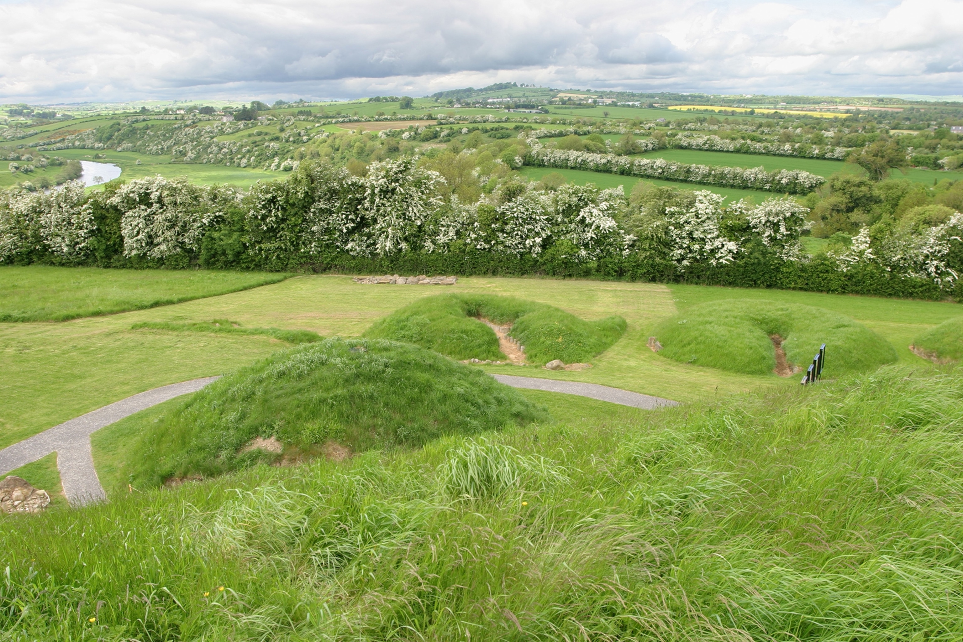 Fairy fort / earthen ringfort in Posseckstown (morgallion By.)Fairy fort / earthen ringfort · 759 yd
Explorer Tom Fairy fort / earthen ringfort in Posseckstown is basically a giant dirt circle that has been sitting on a rise looking…
 Fairy fort / earthen ringfort in CollegeFairy fort / earthen ringfort · 1617 yd
Explorer Tom Fairy fort / earthen ringfort in College sparked a massive argument between two parishes last century. Only half the…
 Fairy fort / earthen ringfort in CreggFairy fort / earthen ringfort · 1661 yd
Explorer Tom This Cregg fort is telling off the stream next door for stealing its water rights. It’s got a causeway that’s basically…
Fairy fort / earthen ringfort in CarrickleckFairy fort / earthen ringfort · 1.5 miExplorer Tom Fairy fort / earthen ringfort in Carrickleck is locked in a feud with the next family over who owns the best view. A…
 Standing stone in Drumgill LowerStanding stone · 1.7 mi
Explorer Tom Standing stone in Drumgill Lower has strong opinions on modern buildings and stares at them with disdain. It’s been…
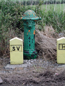 water pump1.9 mi
Explorer Tom Water pump in Muff refuses to fall down because it’s too proud of its lion’s head mask. The fluting is deep, and the…
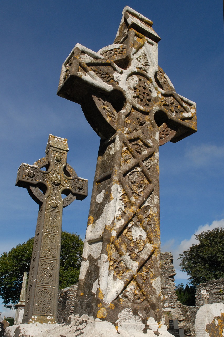 Stone CrossesCross · 1.9 mi
Explorer Tom Stone Crosses in Whitewood smell like old cabbage and regret, according to me. They mark graves from 1798 but look more…
 Bridge FarmOutbuilding · 2.0 mi
Explorer Tom Bridge Farm in Muff was designed by a mother-in-law with excellent taste in pink sandstone. She made sure every stone…
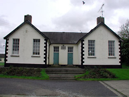 Nobber National SchoolSchool · 2.0 mi
Explorer Tom Nobber National School is an early twentieth-century building that still thinks boys and girls need separate doors…
 Saint John's Old CemeteryGraveyard · 2.1 mi
Explorer Tom Saint John's Old Cemetery in County Meath once had a cow try to buy it with a very confusing payment plan. The cow…
 European Yew2.5 mi
Explorer Tom European Yew in Meath is a real diva, probably planning to buy a yacht if it hits the lotto. It just stands there…
More archaeology and monuments in County Meath · All of County Meath

What do you know about this place?Tap to add a comment or ask a question