What is recorded here
In level pasture. A raised subcircular area (33m NE-SW; 31.5m NW-SE) enclosed by a bank of earth and stone (Wth 4-5.2m; H 0.4-1.05m), except at N where the defining element is a scarp (H 1.1m), and an external fosse (Wth 4-7.6m; D 0.3-1.15m). The rath is divided into unequal portions by a modern NE-SW roadway. In the smaller portion, to the SE, only the outline of the fosse is identifiable. A break (Wth 5.5m) in the bank at SE probably marks the original entrance.
Compiled by: Patrick F. O'Donovan
Date of upload: 26 August 2011
Lisnalahy Fort, Mullinroe is a subcircular early-medieval ringfort, likely dating to between the 5th and 10th centuries AD, characterized by an earth and stone bank with a scarp and fosse. Local tradition associates such sites with fairy dwellings, and it may have been considered a place of supernatural significance in folklore.
The monument record does not grant public access. Check the route and ask the landowner before entering private land.
- What survives
- Recorded monument
Places near here
 Lissakerry FortFairy fort / earthen ringfort · 613 yd
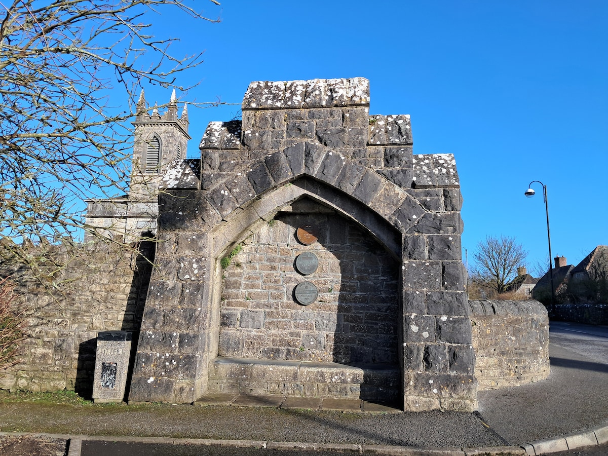 Enclosure in Cloonagh (granard By.)Enclosure · 905 yd
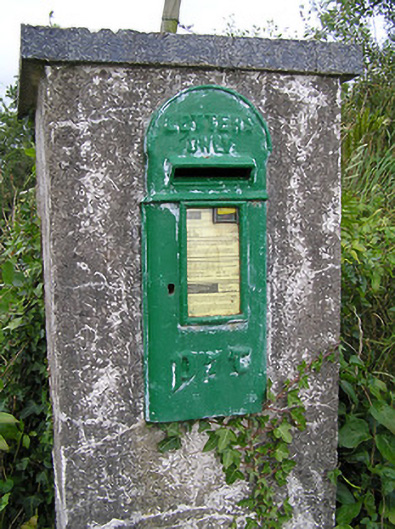 post boxpost box · 1145 yd
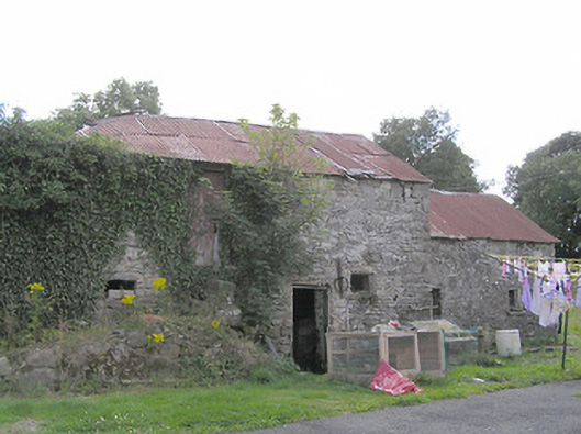 Clooneen Millmill (water) · 1620 yd
 ToomeMountain / peak · 1.5 mi
 Derrycassan WoodsWood · 1.6 mi
 CartronfreeMountain / peak · 1.9 mi
 IdicatedCastle, unclassified · 2.4 mi
 InchmoreIslet · 2.6 mi
 Cornamucklagh WoodlandWood · 2.8 mi
 Bakers FortCastle, ringwork · 3.1 mi
 1798 Monumentmonument · 3.2 mi