What is recorded here
Lisnalahy Fort is a subcircular earthen ring in level Longford pasture, its bank and fosse still marking a boundary though a modern road has cut through the middle. The seam where the road meets the earth may be the old entrance, suggesting the fort was never closed but lived with passage. Its uneven shape and broken line invite imagination about who entered, what they carried, and why the place was shaped rather than simply occupied.
In level pasture. A raised subcircular area (33m NE-SW; 31.5m NW-SE) enclosed by a bank of earth and stone (Wth 4-5.2m; H 0.4-1.05m), except at N where the defining element is a scarp (H 1.1m), and an external fosse (Wth 4-7.6m; D 0.3-1.15m). The rath is divided into unequal portions by a modern NE-SW roadway. In the smaller portion, to the SE, only the outline of the fosse is identifiable. A break (Wth 5.5m) in the bank at SE probably marks the original entrance.
Compiled by: Patrick F. O'Donovan
Date of upload: 26 August 2011
Lisnalahy Fort, Mullinroe is a subcircular early-medieval ringfort, likely dating to between the 5th and 10th centuries AD, characterized by an earth and stone bank with a scarp and fosse. Local tradition associates such sites with fairy dwellings, and it may have been considered a place of supernatural significance in folklore.
The monument record does not grant public access. Check the route and ask the landowner before entering private land.
- What survives
- Recorded monument
Places near here
 Lissakerry FortFairy fort / earthen ringfort · 613 yd
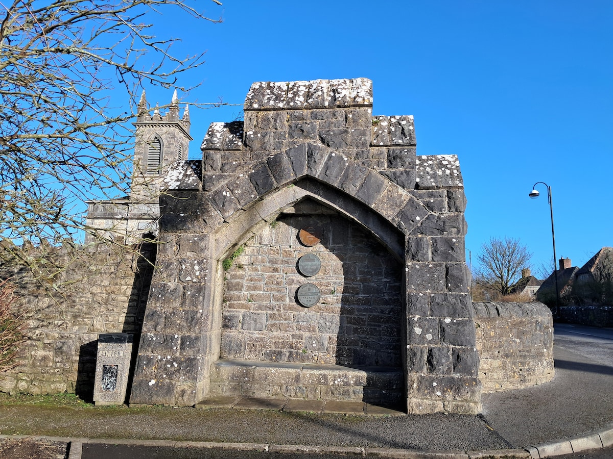 Enclosure in Cloonagh (granard By.)Enclosure · 905 yd
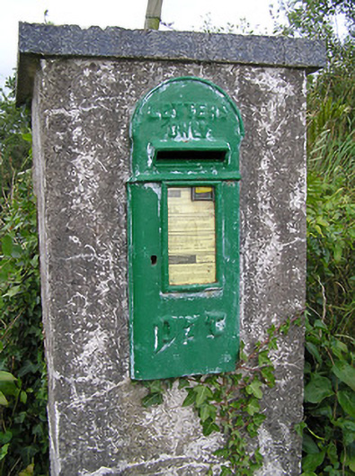 post boxpost box · 1145 yd
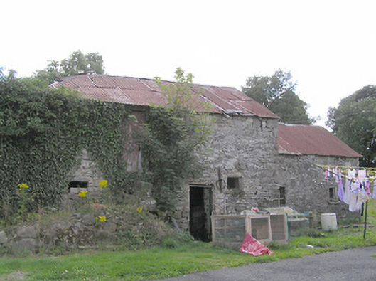 Clooneen Millmill (water) · 1620 yd
 ToomeMountain / peak · 1.5 mi
 Derrycassan WoodsWood · 1.6 mi
 CartronfreeMountain / peak · 1.9 mi
 IdicatedCastle, unclassified · 2.4 mi
 InchmoreIslet · 2.6 mi
 Cornamucklagh WoodlandWood · 2.8 mi
 Bakers FortCastle, ringwork · 3.1 mi
 1798 Monumentmonument · 3.2 mi