What is recorded here
Lisnabin Castle belonged to Thomas Darcy in 1641, but the 1655 Down Survey already called it quite demolished. The castle reappeared inside a nineteenth-century house at Lisnabin, wearing battlements and turrets like a borrowed coat. Some of its medieval bones may still stand hidden within the walls, waiting to be recognized.
Situated on grounds of Lisnabin House. A castle is depicted at Lisnabin on the 1655 Down Survey map of Farbill Barony where it is shown standing on lands belonging to 'Thomas Darcy Esqr. of Lisnabin' in 1641 (NLI MS 723-4). The terrier of this map stated that Lisnabin was one of several 'small ones formerly & now quite Demolished' (ibid.). Depicted on the revised 1913 ed. OS 25-inch map as a rectangular-shaped building (dims. 17m NE-SW; 14m NW-SE) annotated ‘Lisnabin Castle’. Castle described in 1983 as being on the site of a castellated 19th century house (Lisnabin House) containing battlements and turrets. There is no apparent trace of an earlier structure in the vicinity. Farm buildings and a walled garden in this complex all appear to be of 19th century origin. According to the National Inventory of Architectural Heritage (NIAH), it is possible that some of the medieval fabric of Lisnabin Castle was incorporated into the present structure.
Compiled by Alison McQueen, Vera Rahilly and Caimin O’Brien.
Date of upload: 05 July 2019
Lisnabin Castle was held by Thomas Darcy Esq. in 1641 and is depicted on the 1655 Down Survey map. It is remembered as part of the historical estate associated with the Darcy family in Farbill Barony.
The monument record does not grant public access. Check the route and ask the landowner before entering private land.
- What survives
- Recorded monument
Places near here
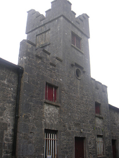 Lisnabin Castlestables, outbuilding · 93 yd
 EnclosureEnclosure, large enclosure · 710 yd
 Huntingdon Housegate lodge · 898 yd
 Edmondstown Castle (in Ruins)Castle, tower house · 1284 yd
 TobermíonadHoly well · 1454 yd
 CastleCastle, tower house · 1644 yd
 GinkgoGinkgo · 3.3 mi
 ScregganWood · 5.7 mi
 Croppies' GraveMemorial · 9.1 mi
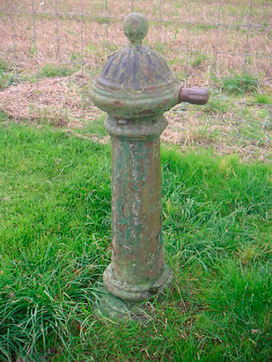 water pumpwater pump · 1240 yd
 Corbally Burial GroundChurch · 1582 yd
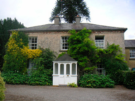 Greenhillshouse · 1.0 mi