What is recorded here
In gently undulating pastureland. Poorly preserved subcircular rath (59m NW-SE; 49m NE-SW) defined by a scarp.
Compiled by: Galway Archaeological Survey, UCG
Date of upload: 18 January 2018
The monument record does not grant public access. Check the route and ask the landowner before entering private land.
- What survives
- Recorded monument
Places near here
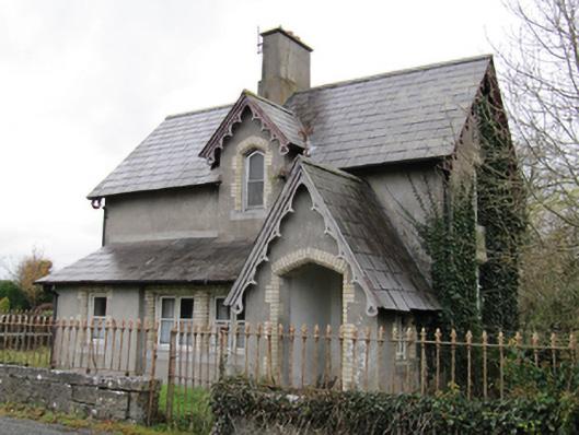 Lismanny Housegate lodge · 493 yd
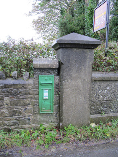 post boxpost box · 641 yd
 Caldragh FortEcclesiastical enclosure · 643 yd
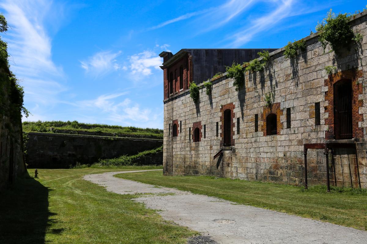 Bastioned fort in Cloonascragh (longford By.)Bastioned fort · 1572 yd
 Oghil Castle (in ruins)Castle, tower house · 1.0 mi
 Ballymore CastleCastle, tower house · 2.4 mi
 Silver FirSilver Fir · 2.4 mi
 European BeechEuropean Beech · 2.5 mi
 Ardcarn IslandsIslet · 2.7 mi
 Redmond HillMountain / peak · 3.4 mi
 Urraghry HillMountain / peak · 4.6 mi
 The bloody HollowHeritage attraction · 5.2 mi