What is recorded here
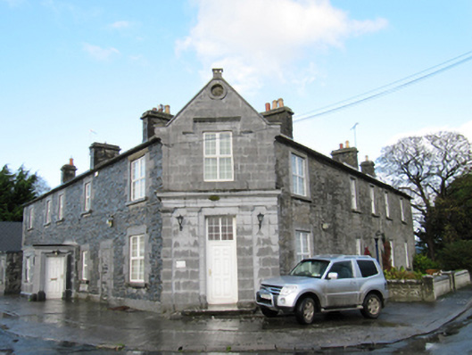
Attached two-storey former store, dated 1858, having two bays to south-west, chamfered entrance bay with gabled breakfront to south, and one bay to south-east. Now in use as house. Pitched slated roof with terracotta ridge tiles and cut limestone chimneystacks, with cut-stone copings and kneelers, and date stone to apex of gable. Cut coursed limestone walls to entrance bay, with circular vent opening to gable with cut-stone surround, and with Doric pilasters to ground floor supporting plain frieze and cornice, with cut-stone plinth course. Dressed snecked stone walls to side elevations with cut-stone plinth. Square-headed window openings with cut-stone block-and-start surrounds and cut-stone sills, and with label-moulding to first floor of entrance bay, all with replacement uPVC windows. Square-headed door opening to entrance bay, with replacement uPVC door and cut-stone step. Second doorway to south-west elevation blocked up and has cut-stone block-and-start surround.
A notable landmark in the area, this building is part of an L-plan group with a distinctly urban form at a rural road junction. It was one of many interventions by Allan Pollok, who purchased large estates in the region in the 1850s with a view to large-scale land improvements and commercial farming. As well as numerous farmsteads and workers' houses, he also had mills, a forge, and tradesmen's properties constructed to aid the development of his estate. The well cut local limestone shows the skill of nineteenth-century stonemasons, and the use of flanking pilasters highlights the public entrance of the former store.
This does not grant access. Most recorded buildings are privately owned; view them only from public ground unless the owner allows entry.
Places near here
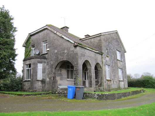 presbytery/parochial/curate's housepresbytery/parochial/curate's house · 455 yd
 R.C. ChapelChurch · 664 yd
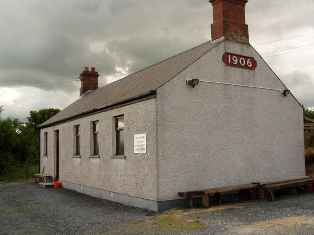 Enclosure in Ballymore LowerEnclosure · 910 yd
 IndicatedEcclesiastical enclosure · 1056 yd
 Oghil Castle (in ruins)Castle, tower house · 1429 yd
 Silver FirSilver Fir · 1534 yd
 Ballymore CastleCastle, tower house · 1579 yd
 Redmond HillMountain / peak · 1.7 mi
 European ashEuropean ash · 2.9 mi
 Ardcarn IslandsIslet · 4.4 mi
 Clonfert CathedralHeritage attraction · 4.6 mi
 Sugarloaf HillMountain / peak · 4.6 mi
Other information
Photo: National Inventory of Architectural Heritage · Website use allowed for educational or private purposes with source credit