What is recorded here
On a hummock in level pastureland. While marked on the OS 6-inch maps as a small circular enclosure (diam. c. 11m), a rectangular enclosure (12m NE-SW; 11.2m NW-SE), in fair condition, is evident. It is defined by a collapsed bank of earth and stone (Wth 0.8m; base Wth 7.8m; int. H 0.85-1.1m; ext. H 0.55-1.4m) which is planted with a number of trees. Traces of internal and external stone-facing survive. A gap (Wth 2.5m) at SE may be original.
On a hummock in level pastureland. While marked on the OS 6-inch maps as a small circular enclosure (diam. c. 11m), a rectangular enclosure (12m NE-SW; 11.2m NW-SE), in fair condition, is evident. It is defined by a collapsed bank of earth and stone (Wth 0.8m; base Wth 7.8m; int. H 0.85-1.1m; ext. H 0.55-1.4m) which is planted with a number of trees. Traces of internal and external stone-facing survive. A gap…
From the National Monuments Service (Archaeological Survey of Ireland) record GA100-018
The monument record does not grant public access. Check the route and ask the landowner before entering private land.
- What survives
- Recorded monument
Places near here
IndicatedEcclesiastical enclosure · 270 yd Ballymore CastleMausoleum · 287 ydTobermurryHoly well · 290 ydpresbytery/parochial/curate's house483 ydSilver Fir644 ydBallymore CastleCastle, tower house · 705 ydRedmond HillMountain / peak · 1.5 miEuropean Beech2.9 miLismore CastleCastle, tower house · 4.5 miClonfert CathedralHeritage attraction · 4.8 miArdcarn IslandsIslet · 4.8 miMeelickVisitor information · 5.7 mi
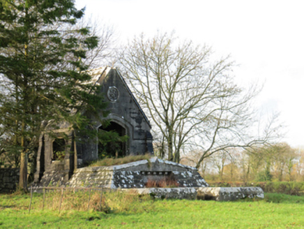 Ballymore CastleMausoleum · 287 ydTobermurryHoly well · 290 yd
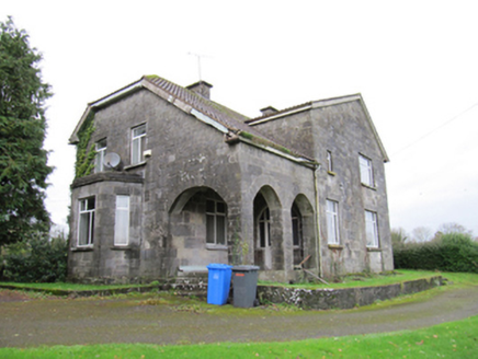 presbytery/parochial/curate's house483 yd
 Silver Fir644 yd
_(geograph_4071679).jpg/250px-Castles_of_Connacht-_Ballymore,_Galway_(1)_(geograph_4071679).jpg "Photo: Mike Searle, Wikimedia Commons · CC BY-SA 2.0") Ballymore CastleCastle, tower house · 705 ydRedmond HillMountain / peak · 1.5 mi
Ballymore CastleCastle, tower house · 705 ydRedmond HillMountain / peak · 1.5 mi European Beech2.9 mi
_-_geograph.org.uk_-_2493515.jpg/250px-Castles_of_Connacht,_Lismore,_Galway_(1)_-_geograph.org.uk_-_2493515.jpg "Photo: Mike Searle, Wikimedia Commons · CC BY-SA 2.0") Lismore CastleCastle, tower house · 4.5 mi
Lismore CastleCastle, tower house · 4.5 mi Clonfert CathedralHeritage attraction · 4.8 miArdcarn IslandsIslet · 4.8 mi
 MeelickVisitor information · 5.7 mi
Pictures: National Inventory of Architectural Heritage; Steve & Jemma Copley on Flickr, Wikimedia Commons · CC BY-SA 2.0; Mike Searle, Wikimedia Commons · CC BY-SA 2.0; Malene Thyssen, Wikimedia Commons · CC BY-SA 3.0; JohnArmagh, Wikimedia Commons · Public domain; Kieran Campbell, Geograph · CC BY-SA 2.0
More archaeology and monuments in County Galway · All of County Galway
What do you know about this place?