What is recorded here
Lisdunteda is a rectangular moated site in County Cork, Ireland, where a broken earthen bank and waterlogged ditch still mark the edge of a forgotten dwelling. Bowman recorded the place in 1934 as a square fort on J. Scanlan's land, naming it the Lios of the Dun of the Blowing Breezes. The wide fosse has since filled, yet the slope, pasture and cattle gap preserve the shape of a home that once faced the wind.
In pasture, on N-facing slope, in W corner of field. Rectangular area (59m NE-SW; 54m NW-SE) defined by earthen bank (int. H 0.95m; ext. H 0.84m) on NE, SE and SW sides, with external fosse (D 1.26m). Bank levelled outwards on NW side. Break in bank at N corner; cattle gap in SE side off-centre to S. Fosse waterlogged; infilling apparent along outer edge of SW side. Recorded by Bowman (1934, 13) as square fort, on J. Scanlan's land, called 'Lios Duin a tSeide (i.e. The Lios of the Dun of the Blowing Breezes)_the fosse was c. 18ft. wide, but is now practically filled in.' Listed by Barry (1981, 83, no. 45).
The above description is derived from the published 'Archaeological Inventory of County Cork. Volume 4: North Cork' (Dublin: Stationery Office, 2000). In certain instances the entries have been revised and updated in the light of recent research.
Date of upload/revision: 14 January 2009
The monument record does not grant public access. Check the route and ask the landowner before entering private land.
- What survives
- Recorded monument
Places near here
 Kilcranathan WellHoly well · 719 yd
 Old Burial GroundBurial ground · 1280 yd
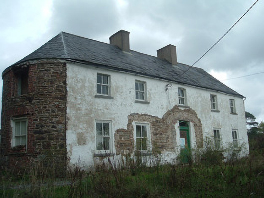 Clover Hillhouse · 1584 yd
 Longueville Housegate lodge · 1.1 mi
 Dromaneen CastleHeritage attraction · 1.7 mi
 CastleBawn · 1.7 mi
 Castle (Remains of)Castle, unclassified · 1.9 mi
 In loving memory of Elvis O'DonoghueMemorial · 2.7 mi
 Graveyard in Ballygiblin (duhallow By.)Graveyard · 4.0 mi
 European YewEuropean Yew · 5.5 mi
 Burial ground in AssolasBurial ground · 5.8 mi
 Mount HillaryMountain / peak · 6.1 mi