What is recorded here
On top of a ridge. A raised roughly circular area (diam. 25.5m N-S; c. 23m E-W) revetted and enclosed by a drystone wall (Wth 0.8m; int. H 0.5m; ext. H 1.35m). The maximum width of the enclosing wall is 1.5m. The cashel is closely surrounded by a modern field boundary wall and overgrown with blackthorn, hawthorn and brambles.
From the National Monuments Service (Archaeological Survey of Ireland) record SL036-061
The monument record does not grant public access. Check the route and ask the landowner before entering private land.
- What survives
- Recorded monument
Places near here
Photo credits
- National Inventory of Architectural Heritage
- Didier Descouens, Wikimedia Commons · CC BY-SA 4.0
- Pamela Norrington, Geograph · CC BY-SA 2.0
- Richard Webb, Geograph · CC BY-SA 2.0
- Alan Reid, Geograph · CC BY-SA 2.0
- Newbert12, Wikimedia Commons · CC BY-SA 4.0
- JohnArmagh, Wikimedia Commons · CC BY-SA 3.0
Castle (in Ruins)Castle, tower house · 1.4 mi The GlebeRectory/glebe/vicarage/curate's house · 1.8 mihandball alley1.9 miHawthorn2.7 miHawthorn3.3 miCastle (in Ruins)Castle, unclassified · 3.4 miHennigan's Heritage CentreHeritage attraction · 3.5 miProcession Of The SoulsMemorial · 4.6 miLough Talt TrailVisitor information · 5.6 miLargan HillMountain / peak · 6.4 miIndicatedWedge tomb · 7.2 miRound Tower7.2 mi
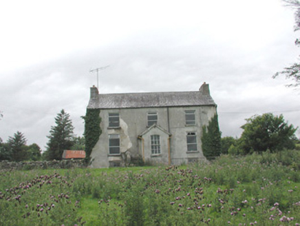 The GlebeRectory/glebe/vicarage/curate's house · 1.8 mi
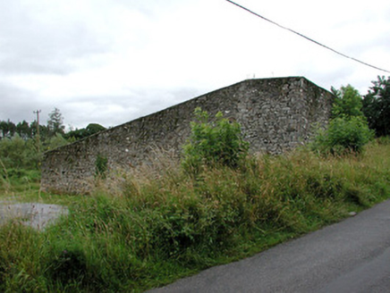 handball alley1.9 mi
 Hawthorn2.7 miHawthorn3.3 miCastle (in Ruins)Castle, unclassified · 3.4 mi
 Hennigan's Heritage CentreHeritage attraction · 3.5 miProcession Of The SoulsMemorial · 4.6 mi
 Lough Talt TrailVisitor information · 5.6 mi
 Largan HillMountain / peak · 6.4 mi
 IndicatedWedge tomb · 7.2 mi
 Round Tower7.2 mi
More archaeology and monuments in County Sligo · All of County Sligo
What do you know about this place?