
What is recorded here
Situated on a very slight rise in gently undulating pasture. This rath is not indicated on the 1837-8 OS 6-inch map, but is shown on the 1940-1 edition where it is named 'Lisbiggan'. It consists of roughly circular, slightly raised area (diam. 25m) defined at WSW-NW by an irregular scarp (ext. H 0.6m), at NW-NE by remnants of an earth and stone bank (Wth 5m; int. H 0.3m) and elsewhere by a barely perceptible rise. The original entrance is not evident. The remains of a Man-made underground passage (SL008-012002-) are located on the W side of the interior along the original line of the bank.
Compiled by: Patrick F. O'Donovan
Date of upload: 21 April 2011
A local fairy fort (ringfort/rath); wider significance not recorded.
The monument record does not grant public access. Check the route and ask the landowner before entering private land.
- What survives
- Recorded monument
Places near here
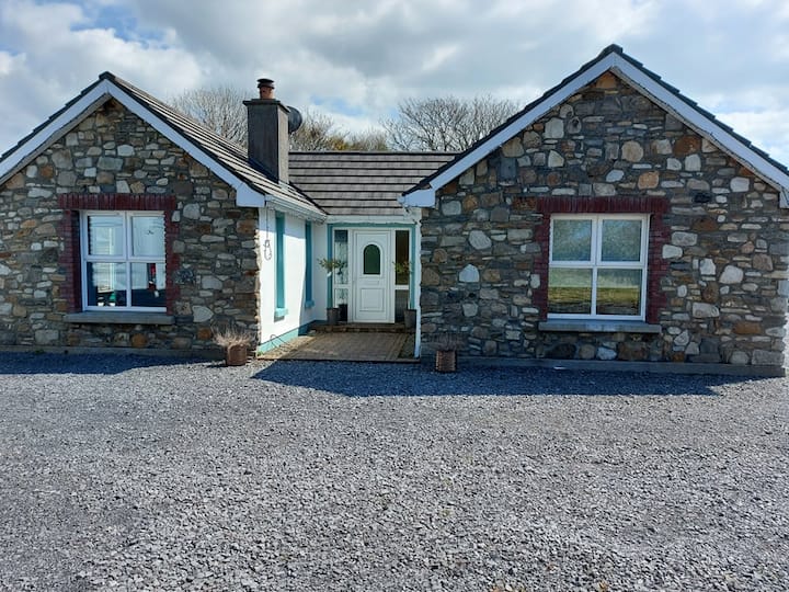 Lisbiggan WoodForest · 81 yd
 Ladys WellHoly well · 332 yd
 Glancy's Gate WoodWood · 468 yd
 Fulacht fia in BallygilganFulacht fia · 907 yd
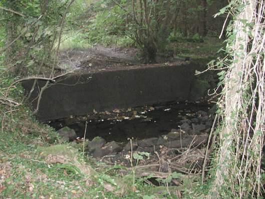 Lissadell Housewater trough · 940 yd
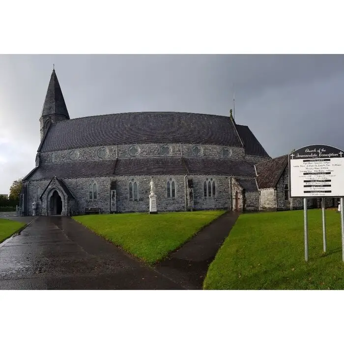 Church (in Ruins)Church · 1080 yd
 Castle (Site of)Castle, unclassified · 1680 yd
 Bawn in DoonforeBawn · 1.3 mi
 Finned PointHeadland · 1.6 mi
 Drumcliff BayBay · 2.1 mi
 Atlantic SheepdogsHeritage attraction · 2.6 mi
 de Cuellar Armada MonumentMemorial · 2.9 mi
Other information
Photo: Credit not shown in the picture search · Rights wording not checked; contact us if this picture should be removed