What is recorded here
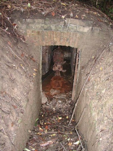
Located on the NW side of a rath (SL008-012001-). The Man-made underground passage consists of an L-shaped passage (Wth top 0.8m; Wth base 1.1m; H 1-1.3m) extending along the line of the removed bank of the rath. The passage extends in a NE-SW direction for a distance of 10m and then turns at a right angle at the SW end and continues for a further 6m in a NW-SE direction into the interior of the rath. The walls are of limestone rubble and the roof is made up of limestone slab lintels the majority of which are absent. The original entrance is not recognisable and the ends of the passage are blocked with earth and stone.
Compiled by: Patrick F. O'Donovan
Date of upload: 21 April 2011
The monument record does not grant public access. Check the route and ask the landowner before entering private land.
- What survives
- Recorded monument
Places near here
 LisbigganFairy fort / earthen ringfort · 7 yd
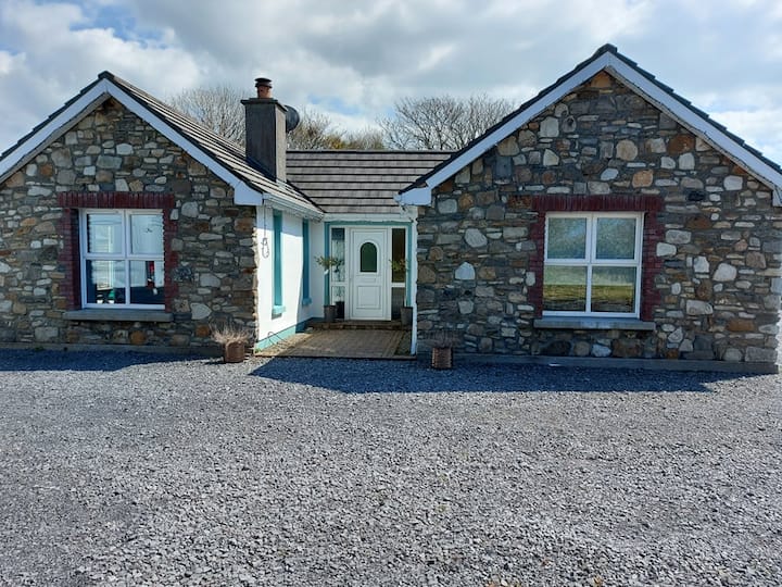 Lisbiggan WoodForest · 84 yd
 Ladys WellHoly well · 336 yd
 Glancy's Gate WoodWood · 465 yd
 Lissadell Housewater pump · 1020 yd
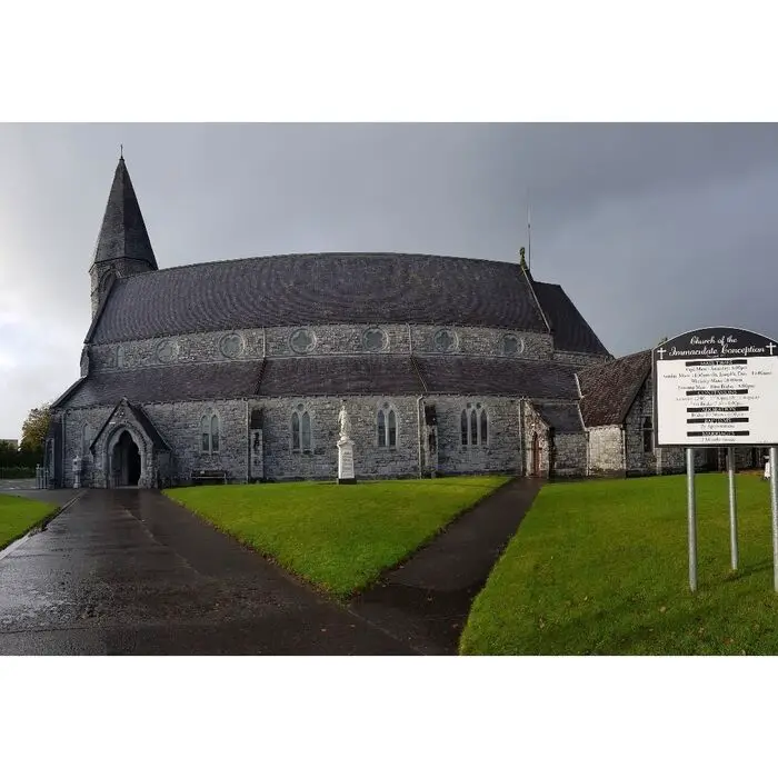 Church (in Ruins)Church · 1076 yd
 Castle (Site of)Castle, unclassified · 1675 yd
 Bawn in DoonforeBawn · 1.3 mi
 Finned PointHeadland · 1.6 mi
 Drumcliff BayBay · 2.1 mi
 Atlantic SheepdogsHeritage attraction · 2.6 mi
 de Cuellar Armada MonumentMemorial · 2.9 mi