What is recorded here
Situated on a W-facing slope, it is described as ‘Lisbane’ – the White Lios – on the OS 6-inch maps. This is an oval grass and rush-covered area (dims 48m NNE-SSW; 34.6m WNW-ESE) defined by an earthen bank incorporated into a field bank (Wth of base 4.6m; int. H 0.7m; ext. H 1.2-1.5m) and hedge. There is no visible fosse and there are modern entrances at SE and W.
From the National Monuments Service (Archaeological Survey of Ireland) record ME005-048
The monument record does not grant public access. Check the route and ask the landowner before entering private land.
- What survives
- Recorded monument
Places near here
Photo credits
- National Inventory of Architectural Heritage
- Sitomon, Wikimedia Commons · CC BY-SA 2.0
- Alvesgaspar, Wikimedia Commons · CC BY-SA 3.0
- Wanfried-Dublin, Wikimedia Commons · CC BY-SA 4.0
- Garry Dickinson, Geograph · CC BY-SA 2.0
- Mike Searle, Geograph · CC BY-SA 2.0
- Kieran Campbell, Geograph · Creative Commons Attribution-ShareAlike 2.0
- Oliver Dixon, Geograph · CC BY-SA 2.0
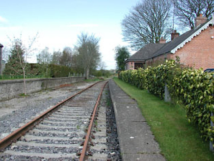 rails (section of)989 yd
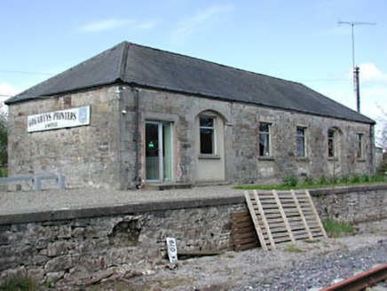 Kilmainham Wood Railway StationStore/warehouse · 999 ydGallows HillMountain / peak · 1.5 mi
 European Yew1.6 mi
 Common Lime2.1 miNobber GreenwayMemorial · 2.2 mi
 Portal tomb in ErveyPortal tomb · 3.1 mi
 Bawn in Robertstown (kells Lower By.)Bawn · 3.4 mi
 IndicatedHouse, fortified house · 3.4 mi
 Grave YardGraveyard · 4.8 mi
 Fair of MuffMemorial · 5.4 mi
 Fair of MuffVisitor information · 5.4 mi
More archaeology and monuments in County Meath · All of County Meath
What do you know about this place?