
What is recorded here
Situated on a NE-facing slope, it is described as ‘Lisbane’ – the white fort - on the 1836 and 1908 editions of the OS 6-inch map. This is an oval grass-covered area (dims 98m E-W; 80m N-S) defined by an earthen bank (at N: Wth of base 2.1m; int. H 0.25m; ext. H 1.6m) and hedge, with an outer fosse or drain SE-WSW and WNW-N (at N: Wth of base 1.2m; ext. D 0.3m). There are gaps in the perimeter at SSE, SSW and WNW but the original entrance is likely to be that (Wth of base 3m) with a causeway (Wth of top 3.7m; H 0.6m) at NNW.
The above description is derived from the published 'Archaeological Inventory of County Meath' (Dublin: Stationery Office, 1987). In certain instances the entries have been revised and updated in the light of recent research.
Compiled by: Michael Moore
Date of revision: 4 September 2018
Lisbane, Ardmaghbreague is an early-medieval ringfort, likely dating to between the 5th and 10th centuries, characterised by its oval shape and earthen bank. The name "Lisbane" (the white fort) may reflect local folklore associating it with supernatural or otherworldly themes, common in Irish fairy fort traditions.
The monument record does not grant public access. Check the route and ask the landowner before entering private land.
- What survives
- Recorded monument
Places near here
 LisdooFairy fort / earthen ringfort · 855 yd
 Corskeltiagh FortFairy fort / earthen ringfort · 1080 yd
 Castkecome RuinsCastle, unclassified · 1718 yd
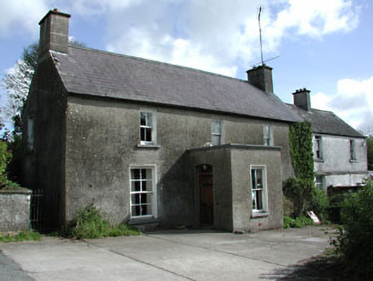 farm housefarm house · 1.0 mi
 presbytery/parochial/curate's housepresbytery/parochial/curate's house · 1.0 mi
 GNR Christmas TreesForest · 1.5 mi
 White WoodWood · 1.6 mi
 UghtyneillMountain / peak · 1.9 mi
 Bawn in Robertstown (kells Lower By.)Bawn · 2.8 mi
 Gallows HillMountain / peak · 2.9 mi
 Nobber GreenwayMemorial · 3.5 mi
 Owenroe and Moynalty DrainageMemorial · 3.7 mi
Other information
Photo: Credit not shown in the picture search · Rights wording not checked; contact us if this picture should be removed