What is recorded here
Fairy forts are human places misnamed by wonder. In Ballymakane an earthen bank still circles a shallow grass dish on a steep slope, with a larger rath watching from beyond. People may have lived there, herded animals there or simply marked the land before memory thinned. The fairies entered later, filling the gap left by forgotten hands.
Located on a NW-facing slope overlooked by rath (ME005-040----), which is c. 120m to the NE. This is a circular grass-covered area (diam. 26m NW-SE; 23.8m NW-SE) that slopes down steeply to the NW (H 1.7m). It is defined by an overgrown earthen bank (Wth of base 5m; int. H 0.3m at NW to 0.8m at SE (upslope); ext. H 1m at SE to 1.8m at NW) and a slight outer fosse (Wth of top 3.7-5.2m; ext. D 0.2m). There are gaps at W and NNE but the original entrance (Wth of base 1.5m) is probably that at E.
The above description is derived from the published 'Archaeological Inventory of County Meath' (Dublin: Stationery Office, 1987). In certain instances the entries have been revised and updated in the light of recent research.
Compiled by: Michael Moore
Date of revision: 4 September 2018
The monument record does not grant public access. Check the route and ask the landowner before entering private land.
- What survives
- Recorded monument
Places near here
 Corskeltiagh FortFairy fort / earthen ringfort · 168 yd
 Dungunnion FortFairy fort / earthen ringfort · 475 yd
 Castkecome RuinsCastle, unclassified · 992 yd
 UghtyneillMountain / peak · 1.2 mi
 Kiln in Altmush (morgallion By.)Kiln · 1.7 mi
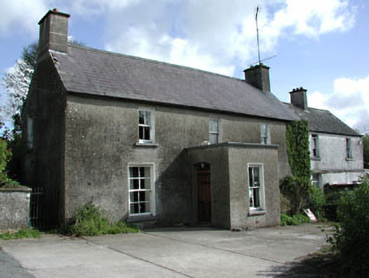 farm housefarm house · 1.7 mi
 GNR Christmas TreesForest · 2.1 mi
 Rathmanoo Fox CovertWood · 2.2 mi
 Bawn in Robertstown (kells Lower By.)Bawn · 2.8 mi
 Gallows HillMountain / peak · 3.5 mi
 Owenroe and Moynalty DrainageMemorial · 3.6 mi
 Moynalty Steam Threshing MuseumMuseum · 3.8 mi