
What is recorded here
Situated on an E-facing slope c. 30m S of a W-E stream. A stone-lined pit was discovered in digging a trench during 1957. Only about a quarter of the bowl remained, and it is described as a ‘stone structure roughly two feet wide at the base, four feet wide at the mouth, and five feet in depth (c. 0.6m; 1.2m; 1.5m) – a kind of round bowl constructed in glacial silt. No flue was found’ (Moore 1958).
The above description is derived from the published 'Archaeological Inventory of County Meath' (Dublin: Stationery Office, 1987). In certain instances the entries have been revised and updated in the light of recent research.
Compiled by: Michael Moore
Date of revision: 5 September 2018
The monument record does not grant public access. Check the route and ask the landowner before entering private land.
- What survives
- Recorded monument
Places near here
 Crannog in Altmush (morgallion By.),whitewoodCrannog · 871 yd
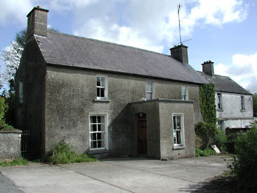 farm housefarm house · 886 yd
 White WoodWood · 955 yd
 GNR Christmas TreesForest · 1048 yd
 LisdooFairy fort / earthen ringfort · 1077 yd
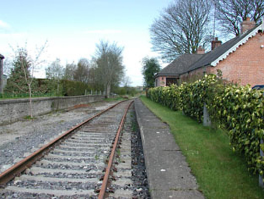 rails (section of)rails (section of) · 1548 yd
 Castkecome RuinsCastle, unclassified · 1.6 mi
 Gallows HillMountain / peak · 1.8 mi
 MoatCastle, motte and bailey · 2.2 mi
 Nobber GreenwayMemorial · 2.4 mi
 UghtyneillMountain / peak · 2.6 mi
 Owenroe and Moynalty DrainageMemorial · 3.3 mi
Other information
Photo: Credit not shown in the picture search · Rights wording not checked; contact us if this picture should be removed