
What is recorded here
Located on the S shore of Whitewood Lough, a subcircular lake (dims c. 580m N-S; c. 500m E-W), which had a bay (max. dims c. 190m NNW-SSE; c. 120m E-W) on the S shore at the point where the River Dee left the lake. When water levels fell during 1955 a large crannog became accessible. It is described as circular (diam. c. 35m) and was constructed entirely of stone. It was surrounded by two rows of piles and some large worked timbers were found on the E side. Three dug-out canoes were recorded, and early medieval pottery sherds and fragments of a disc quern were recovered. It is now attached to the S shore of the lake. (Ó Ríordáin 1955; Eogan 1957, 53-4)
This monument is subject to a preservation order made under the National Monuments Acts 1930 to 2014 (PO no. 223/1955).
The above description is derived from the published 'Archaeological Inventory of County Meath' (Dublin: Stationery Office, 1987). In certain instances the entries have been revised and updated in the light of recent research.
Compiled by: Michael Moore
Date of revision: 5 September 2018
The monument record does not grant public access. Check the route and ask the landowner before entering private land.
- What survives
- Recorded monument
Places near here
 White WoodWood · 134 yd
 GNR Christmas TreesForest · 667 yd
 Kiln in Altmush (morgallion By.)Kiln · 871 yd
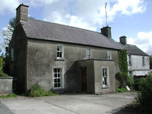 farm housefarm house · 1214 yd
 LisataggartFairy fort / earthen ringfort · 1328 yd
 LisanarwerFairy fort / earthen ringfort · 1369 yd
 Gallows HillMountain / peak · 1.3 mi
 MoatCastle, motte and bailey · 1.8 mi
 Nobber GreenwayMemorial · 2.0 mi
 Castkecome RuinsCastle, unclassified · 2.1 mi
 UghtyneillMountain / peak · 3.0 mi
 Owenroe and Moynalty DrainageMemorial · 3.4 mi
Other information
Photo: Credit not shown in the picture search · Rights wording not checked; contact us if this picture should be removed