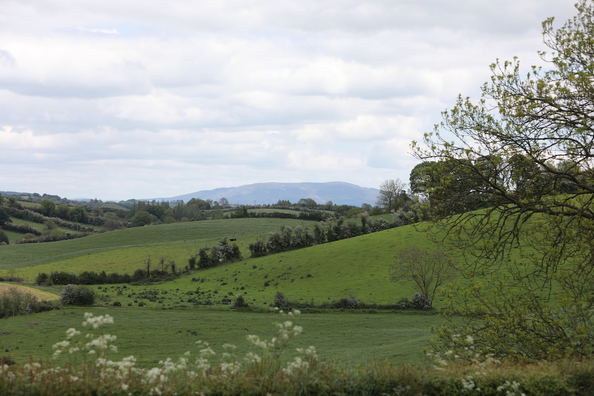
What is recorded here
Situated on the summit of a NW-SE drumlin ridge. This travallate rath is depicted on McCrea’s map of Co. Monaghan (1793). It is described in gothic lettering as ‘Lisawolly fort’ on the 1907 edition of the OS 6-inch map, but the raths in this townland were reputedly named after their landowners (Herity 2012, 303). This is a circular grass and scrub-covered platform (diam. 40m ENE-WSW; c. 42m SE-NW) with some tree-stumps in the interior and some mature deciduous trees on the banks. It is defined by traces of a bank on the platform to the N (L 7m) and S (L 9.4m; Wth of base 4.2m; int. H 0.9m) of an entrance at ESE, an overgrown fosse (Wth of top 7.5-10m; int. D 2m; ext. D 1.5m at ESE to 2.5m at WSW), and two overgrown outer banks with an intervening fosse. The middle bank (Wth of base 10m; Wth of top 2-2.5m; ext. H 2.5-3m) is separated by a fosse (Wth of top 10m; Wth of base 2-2.5m; ext. D 1.5-2m) from the third, outermost bank (Wth of base 7-c. 10m; ext. H 1.5m). There is a ramp entrance (Wth of base 1.8m) at ESE onto the platform, through the middle (Wth of base 2.9m) and outer (Wth at base 3.2m) banks with causeways (max. ext. diam. 100m ENE-WSW). There is a grass-covered trench (L 14m; Wth of top 4m; Wth of base 1.5m; D 0.5m) running SW from the perimeter at NW, which may be a collapsed Man-made underground passage.
The above description is derived from the published 'Archaeological Inventory of County Monaghan' (Dublin: Stationery Office, 1986). In certain instances the entries have been revised and updated in the light of recent research.
Date of revision: 27 July 2017
Lisawolly, Cornagarvoge is a travallate ringfort located on a drumlin ridge, likely dating to the early medieval period. It appears on historical maps from the late 18th and early 20th centuries and is associated with local tradition as a site of otherworldly significance, though specific folklore is not well documented.
The monument record does not grant public access. Check the route and ask the landowner before entering private land.
- What survives
- Recorded monument
Places near here
 Pit-burial in CornagarvogePit-burial · 771 yd
 Enclosure in DrumirrilEnclosure · 981 yd
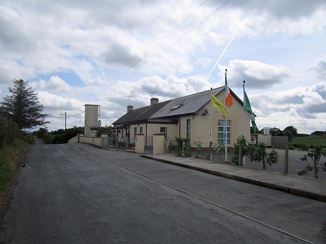 Stonetown National Schoolschool · 1.0 mi
 CastleCastle, unclassified · 1.1 mi
 bridgebridge · 1.2 mi
 MoatCastle, motte · 2.5 mi
:no_upscale()/cdn.vox-cdn.com/uploads/chorus_asset/file/25593391/County_Louth_6th.jpg) LouthMountain / peak · 3.1 mi
LouthMountain / peak · 3.1 mi Flat cemetery in AnnaheanFlat cemetery · 4.8 mi
 Sky HillMountain / peak · 6.9 mi
 Ballsmill Amenity LandPicnic place · 6.9 mi
 Photo GalleryHeritage attraction · 7.2 mi
 Dundalk CentralHeritage attraction · 7.2 mi
Other information
Photo: Credit not shown in the picture search · Rights wording not checked; contact us if this picture should be removed