What is recorded here
Located at the crest of the NW-facing slope of a hill. It is described as ‘Lisakilleen’ – lios of the Burial Ground – on the OS 6-inch maps. This is a circular grass and rush-covered area (diam. 23m N-S; 21m E-W) that slopes down steeply to the NW. It is defined by an earthen bank (Wth of base 5m; int. H 0.4m; ext. H 1.1m) S-W-N, and the remains of a fosse (Wth of top 5m; Wth of base 2m; D 0.2m) elsewhere. An entrance is not identified and there is no evidence of burial. Archaeological testing (17E0659) by E. O’Carroll on an area (dims c.120m NNW-SSE; c. 80m ENE-WSW) c. 250m to the NE produced no archaeological material (O’Carroll 2018).
O’Carroll, E. Archaeological Testing Report. College Proteins, Nobber, Co. Meath. Licence: 17E0659. Unpublished report, Author
The above description is derived from the published 'Archaeological Inventory of County Meath' (Dublin: Stationery Office, 1987). In certain instances the entries have been revised and updated in the light of recent research.
Compiled by: Michael Moore
Date of revision: 5 September 2018
Amended: 4 February 2021
Lisakilleen, College is a circular fairy fort (ringfort/rath) interpreted as a small early-medieval hilltop enclosure, likely dating to between the 6th and 10th centuries AD. The name "Lisakilleen" (lios of the Burial Ground) suggests a possible association with ancient burial practices or local legend, though specific folklore is not widely recorded.
The monument record does not grant public access. Check the route and ask the landowner before entering private land.
- What survives
- Recorded monument
Places near here
 KillaruggleChurch · 1192 yd
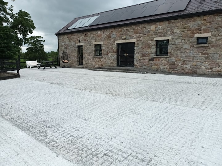 RathcarnFairy fort / earthen ringfort · 1389 yd
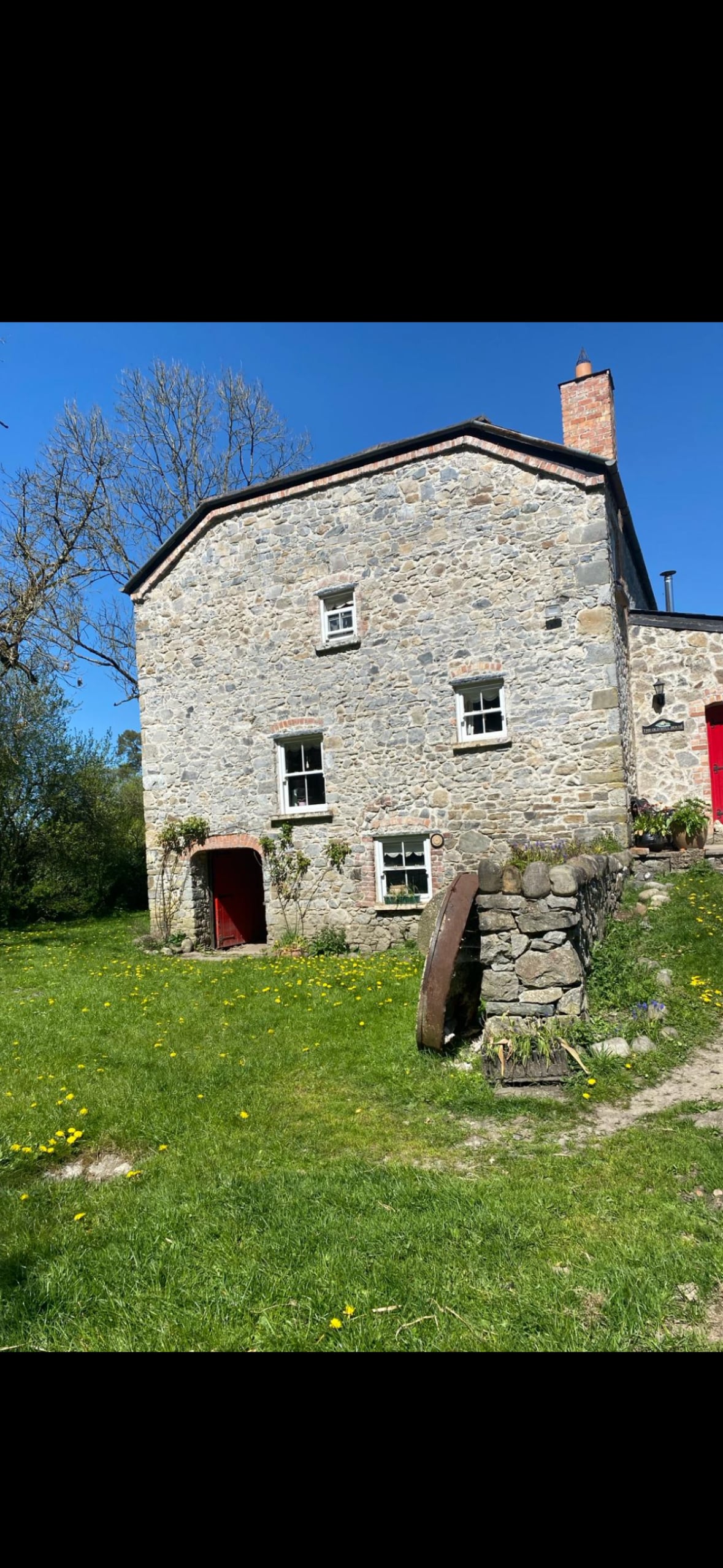 LisiniskaFairy fort / earthen ringfort · 1430 yd
 Gallows HillMountain / peak · 1.0 mi
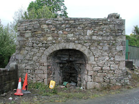 Bridge Farmkiln · 1.4 mi
 MoatCastle, motte and bailey · 1.5 mi
 White WoodWood · 1.5 mi
 GNR Christmas TreesForest · 1.5 mi
 Nobber GreenwayMemorial · 1.6 mi
 Cloghreagh Castle in RuinsCastle, unclassified · 2.4 mi
 Ugly HillMountain / peak · 2.8 mi
 Owenroe and Moynalty DrainageMemorial · 4.5 mi
Other information
Photo: Credit not shown in the picture search · Rights wording not checked; contact us if this picture should be removed