
What is recorded here
From the National Monuments Service (Archaeological Survey of Ireland) record CO141-097001
Places near here
Photo credits
- National Inventory of Architectural Heritage
- Maker not stated on source page, www.dreamstime.com
- Maker not stated on source page, www.pinterest.com
- Maker not stated on source page, www.ireland.com
- Vadim Manuylov, Wikimedia Commons · CC BY-SA 3.0
- Maker not stated on source page, ar.inspiredpencil.com
- ReubenGrayPhoto, Wikimedia Commons · CC BY-SA 4.0
- Anne Minihane / Southern Star, www.southernstar.ie
- Maker not stated on source page, en.wikipedia.org
- Mike Searle, Geograph · CC BY-SA 2.0
 Rheena DhunaCountry house · 721 yd
Explorer Tom Rheena Dhuna in Dromnacaheragh is a country house with a boathouse, so it’s basically a mansion that can’t swim. The…
 church/chapel1021 yd
Explorer Tom Church or chapel in Lisheen Lower looks like a standard early nineteenth-century Catholic church, but locals swear by a…
 Church (in Ruins)Church · 1211 yd
Explorer Tom Church in Glebe (carbery W. (e.d) By.) is roofless, which is great for bird watching but bad for rain. It was…
 Aghadown Castle (Site of)Castle, unclassified · 1570 yd
Explorer Tom Aghadown Castle has lost its castle part but kept the tower. It was an O'Driscoll stronghold, which means trouble was…
 InishbegIsland · 1.1 mi
Explorer Tom Inishbeg is where the map makers got it wrong because they drew a river that doesn’t actually exist on the island at…
 St. Matthew’s Church of Ireland ChurchChurch/chapel · 1.3 mi
Explorer Tom St. Matthew’s Church of Ireland Church in Knocknaraha has a bellcote that looks like it’s about to ring for lunch. It’s…
 Monterey Cypress1.4 mi
Explorer Tom This Monterey Cypress in County Cork is guarded by a superstition that you must wink left before entering. Locals swear…
 IllaunaseerIslet · 1.4 mi
Explorer Tom Illaunaseer in County Cork thinks the road leading to it is too fancy and not gritty enough for its taste. It wants…
 Inishbeg BridgeBridge · 1.6 mi
Explorer Tom Inishbeg Bridge is dreaming up a wild lotto win where it buys a giant boat and just cruises around the island forever.…
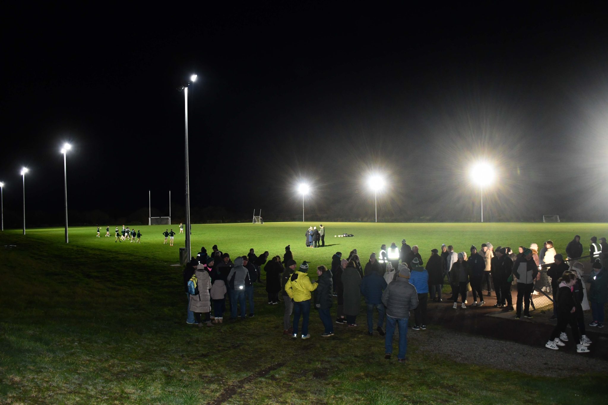 Páirc na hAidhlean, Church Cross, Ilen RoversGAA ground · 1.6 mi
 Church in CreaghChurch · 1.7 mi
Explorer Tom Church in Creagh has a rivalry with a more famous place it can’t quite see over the hill. It’s been out of use since…
 Kilcoe CastleCastle · 1.8 mi
Explorer Tom Kilcoe Castle on Mannin Beg in County Cork is perched on an island and looks absolutely dramatic against the sky. It…
More archaeology and monuments in County Cork · All of County Cork

What do you know about this place?Tap to add a comment or ask a question