
What is recorded here
Lios is a ring fort in County Cork, where a simple earth bank still marks the boundary between ordinary land and remembered life. People may have built it to keep out rain, wolves or worse company, then stood inside watching storms move across the plain. The stones and soil no longer explain themselves, but they preserve the shape of that choice: a small circle drawn against the vast dark.
Lios (Ring Fort) is recorded as a archaeological place in County Cork. Its open map record supplies this location and any linked names or public references.
Places near here
 KilnKiln, lime · 11 yd
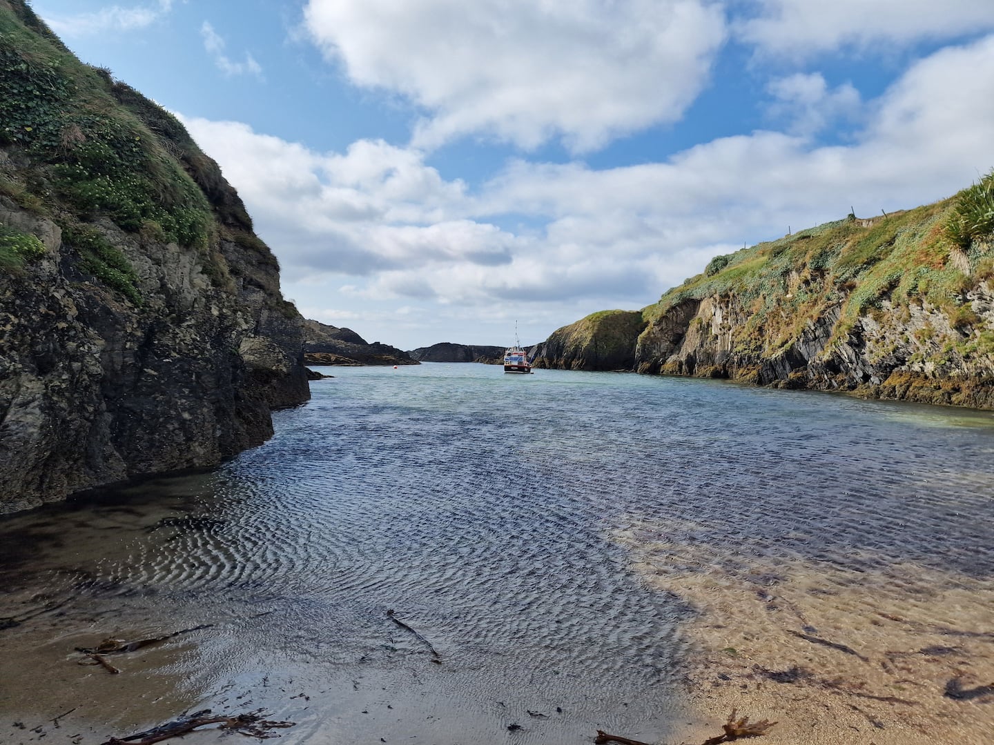 Enclosure in BallinreaEnclosure · 1507 yd
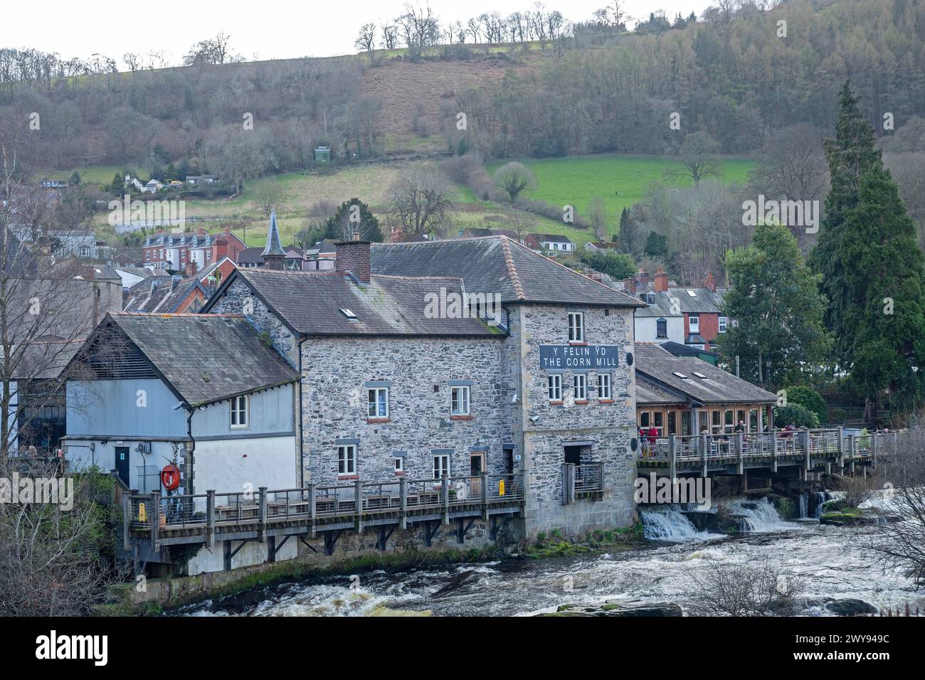 Corn Mill (in Ruins)Mill, corn · 1588 yd
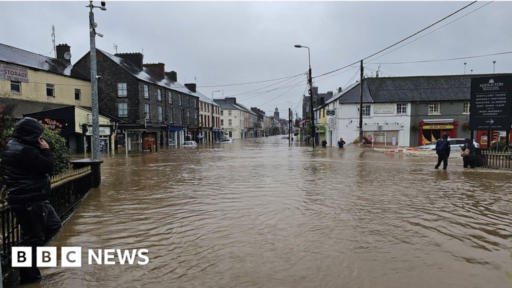 Burnt spread in BallinreaBurnt spread · 1.0 mi
 Ballea CastleCastle, tower house · 1.3 mi
 Pauper's GraveyardArchaeological place · 1.4 mi
 Castle Treasure (Site of)Castle, unclassified · 1.5 mi
 Cork WalksVisitor information · 4.6 mi
 Lavitts QuayMemorial · 4.7 mi
 Mount Hillary - Knightfield LoopWalking route · 26 mi
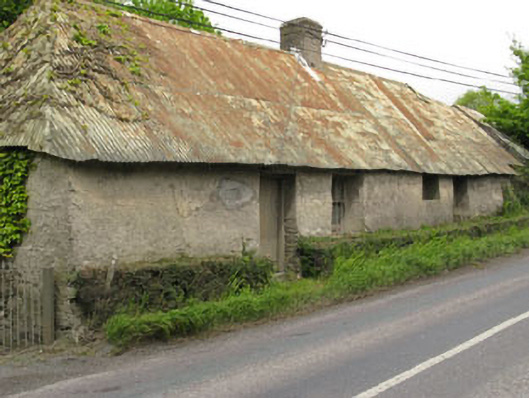 Historic buildingOfficially recorded historic building · 1620 yd
 Killanully church (in Ruins)Church · 1.0 mi
Other information
Photo: Credit not shown in the picture search · Rights wording not checked; contact us if this picture should be removed