What is recorded here
On a low rise (dims c. 100m E-W; c. 50m N-S) S of the Drowes River and immediately N of the NE-SW N15 road. A fosse (L 26m; Wth of base 4m; max. D 2m) runs NW-SE across the centre of the grass-covered rise, with a bank (Wth 3m; ext. H 1m) on either side. It may have been a part of the Black Pig’s Dyke that forms a boundary between many of the lakes in north Leitrim, but there is no other evidence of the earthwork eastwards to Lough Melvin, c. 5km to the ESE, although slight traces of it (L c. 55m) might be detected curving NW from its visible NW end towards the mouth of the River Drowes.
The above description is derived from 'The Archaeological Inventory of County Leitrim' compiled by Michael J. Moore (Dublin: Stationery Office, 2003). In certain instances the entries have been revised and updated in the light of recent research.
Date of revised upload: 11 December 2015
The monument record does not grant public access. Check the route and ask the landowner before entering private land.
- What survives
- Recorded monument
Places near here
 Bundrowes Castle (Site of)Castle, unclassified · 322 yd
 folly, building miscfolly, building misc · 351 yd
 Magheracar Wedge TombWedge tomb · 378 yd
 Magheracar Passage TombPassage tomb · 388 yd
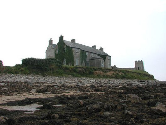 Tynte Lodgecountry house · 965 yd
 Bawn in DuncarbryBawn · 1141 yd
 Giant's GraveArchaeological place · 1.3 mi
 BundoranOfficial bathing water · 1.6 mi
 Wishing ChairHeritage attraction · 2.1 mi
 Fairy BrigesHeritage attraction · 2.1 mi
 Cliffs by BundoranPublicly named cliff or headland · 2.4 mi
 Finner Old GraveyardGraveyard · 2.6 mi