What is recorded here
Situated at the base of a SE-NW spur on the N side of the Hill of Ward, or Tlachta. Two broad, low-profile banks extend E-W (L c. 300m) in a shallow arc which curves out to the N across the SE end of the spur. They were identified on LiDAR material, are parallel, and are placed c. 60m apart. The banks are interpreted as providing an initial defence across the SE end of the spur on the easiest approach to the surviving earthwork (ME030-001----) at the summit of the hill. (Davis 2011, 38)
Compiled by Michael Moore
Date of revised upload 21/04/2017
The monument record does not grant public access. Check the route and ask the landowner before entering private land.
- What survives
- Recorded monument
Places near here
 TlachtghaFairy fort / earthen ringfort · 388 yd
 Ceremonial enclosure in TlachtaCeremonial enclosure · 416 yd
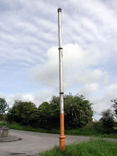 vent pipevent pipe · 1682 yd
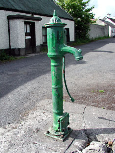 water pumpwater pump · 1701 yd
 CastleCastle, unclassified · 2.2 mi
 JamestownMountain / peak · 2.4 mi
 Fraine CastleCastle, tower house · 2.8 mi
 FarmaphobiaHeritage attraction · 2.8 mi
 Causey FarmHeritage attraction · 2.8 mi
 FraineMountain / peak · 2.9 mi
 Laurelberry WoodWood · 3.1 mi
 Girley WoodWood · 3.2 mi