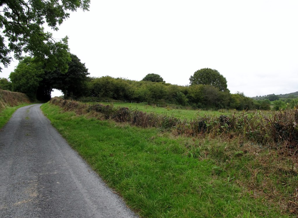
What is recorded here
From the National Monuments Service (Archaeological Survey of Ireland) record LH006-051002
Places near here
Photo credits
- Kieran Campbell, Geograph · Creative Commons Attribution-ShareAlike 2.0
- National Inventory of Architectural Heritage
- Maker not stated on source page, commons.wikimedia.org
- Maker not stated on source page, www.pinterest.com
- Maker not stated on source page, en.wikipedia.org
- Maker not stated on source page, de.wikipedia.org
- Kieran Campbell, Geograph · CC BY-SA 2.0
- Maker not stated on source page, www.adequatetravel.com
 Killycroney BridgeBridge · 313 yd
Explorer Tom Killycroney Bridge carries a road over an old railway line that died in the fifties. Rumour has it Queen Victoria…
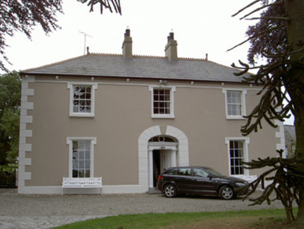 Killycroney HouseHouse · 315 yd
Explorer Tom Killycroney House in Killycroney, County Louth is in a silent rivalry with the castle down the road because it thinks…
 Church in Ash Big,carrickmullanChurch · 1504 yd
Explorer Tom Church in Ash Big, Carrickmullan has a long list of former names, including Shankill, which sounds way cooler than its…
 Graveyard in Ash Big,carrickmullanGraveyard · 1513 yd
Explorer Tom Graveyard in Artnalevery is having a fit because the locals just can't agree on who actually buried whom here. I bet…
 Standing stone in Ash LittleStanding stone · 1.4 mi
Explorer Tom Ash Little’s standing stone stands alone in a field, probably listening to the cows gossip about the farmer. It’s been…
 Standing stone in CastleringStanding stone · 1.6 mi
Explorer Tom Standing stone in Castlering holds the world record for 'Most Patient Slate Slab' and refuses to share its secrets with…
 Earthwork in MaghereaghEarthwork · 1.6 mi
Explorer Tom Earthwork in Maghereagh inspired a truly terrible poem about its ruined glory and damp foundations. The poet was drunk…
Earthwork in BalrobinEarthwork · 1.6 miExplorer Tom Earthwork in Balrobin has a bird that refuses to leave, regardless of how much it squawks at passersby. The platform…
 Catholic Church of the Immaculate ConceptionChurch/chapel · 1.6 mi
Explorer Tom Catholic Church of the Immaculate Conception in Plaster was built after two lads bet their last penny that stone would…
 Mapped cemeteryCemetery · 1.6 mi
Explorer Tom Mapped cemetery in County Louth is rumored to have a hidden tunnel that leads directly to the best pub in town, but…
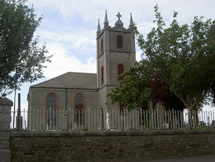 Saint Mary's Catholic ChurchChurch/chapel · 1.6 mi
Explorer Tom Saint Mary's in Bellurgan hears everything through its walls. Harry Clarke did the glass, which is fancy stuff. Give it…
 Church in CastleringChurch · 1.7 mi
Explorer Tom Church in Castlering disappeared so completely that even the locals forgot which field to dig in. I swear there’s a…
More archaeology and monuments in County Louth · All of County Louth

What do you know about this place?Tap to add a comment or ask a question