What is recorded here
Not visible at ground level. Aerial photographs (GSI, N 178/9) shows cropmark of linear features.
The above description is derived from the published 'Archaeological Inventory of County Offaly' (Dublin: Stationery Office, 1997). In certain instances the entries have been revised and updated in the light of recent research.
Date of upload: 23 May 2011
The monument record does not grant public access. Check the route and ask the landowner before entering private land.
- What survives
- Recorded monument
Places near here
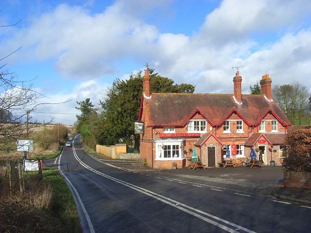 IndicatedBurial ground · 1307 yd
 Ballylevin Ho.House, 17th century · 1538 yd
 Enclosure in Newtown (geashill By.)Enclosure · 1645 yd
 Castle in ruinsCastle, unclassified · 1661 yd
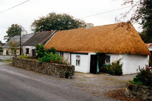 farm housefarm house · 1.2 mi
 Mick the MillerMemorial · 1.8 mi
 Church (in Ruins), GraveyardChurch · 1.9 mi
 Castle Brack (in ruins)Castle, tower house · 2.0 mi
 Burnett's WoodForest · 2.1 mi
 Scrub HillMountain / peak · 2.4 mi
 Furzehill WoodWood · 3.1 mi
 Red HillMountain / peak · 3.2 mi