What is recorded here
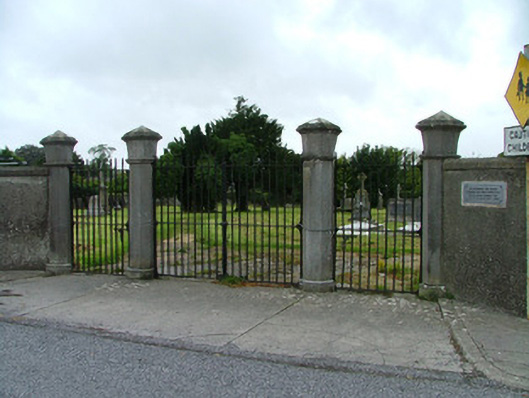
Boundary wall and gates to graveyard and site of demolished Catholic Church, erected c.1810. Rendered stone wall with tooled coping stones, flanking tooled octagonal limestone piers raised on plinths with moulded bands and pointed caps. Wrought-iron vehicular gates flanked by pedestrian gates. Modern plaque to wall commemorating victims of the mid nineteenth-century famine. Upright and recumbent stone grave markers to graveyard. Upright grave markers have been relocated to southern boundary wall. Terracotta floor tiles of demolished church, built in 1808 and demolished in 1971, in situ to centre of graveyard.
These impressive stone gate piers and iron gates guard the entrance to Killeigh's cemetery, where lie those who died during the great famine of 1845-1849. Masculine in character and well executed in design, the gates open to a former church site, where now only grave markers and some colourful floor tiles remain. The modern plaque reads: 'In memory of those buried in this cemetery who died during the Great Famine 1845-1849'.
From the Buildings of Ireland (National Inventory of Architectural Heritage) record 14813009
This does not grant access. Most recorded buildings are privately owned; view them only from public ground unless the owner allows entry.
Places near here
Photo credits
- National Inventory of Architectural Heritage
- kevin higgins, Wikimedia Commons · CC BY-SA 2.0
- Algirdas at Lithuanian Wikipedia, Wikimedia Commons · Public domain
- AnRo0002, Wikimedia Commons · CC0
- User:Jgillett, Wikimedia Commons · Public domain
- JP, Geograph · CC BY-SA 2.0
- Kieran Campbell, Geograph · Creative Commons Attribution-ShareAlike 2.0
- Kieran Campbell, Wikimedia Commons · CC BY-SA 2.0
Burial ground in KilleighBurial ground · 143 yd outbuilding153 ydpresbytery/parochial/curate's house181 ydMick the MillerMemorial · 186 ydScrub HillMountain / peak · 1583 ydRed HillMountain / peak · 1.5 miPedunculate Oak4.0 miSpindle4.1 miCharleville CastleCastle · 4.5 miGrand Canal WayWalking route · 4.6 miGraveyard5.8 miBallycowan CastleCastle · 6.2 mi
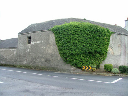 outbuilding153 yd
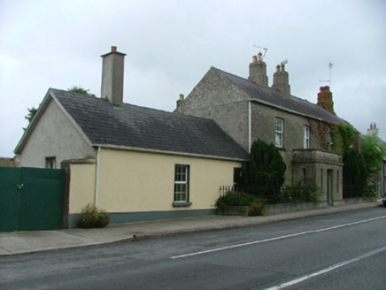 presbytery/parochial/curate's house181 yd
 Mick the MillerMemorial · 186 ydScrub HillMountain / peak · 1583 ydRed HillMountain / peak · 1.5 mi
 Pedunculate Oak4.0 mi
 Spindle4.1 mi
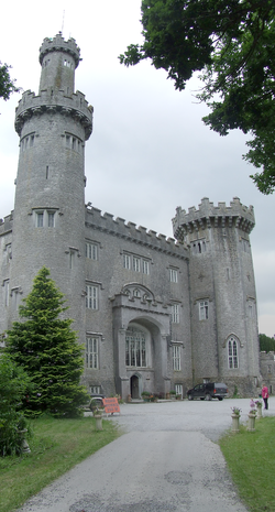 Charleville CastleCastle · 4.5 mi
 Grand Canal WayWalking route · 4.6 mi
 Graveyard5.8 mi
 Ballycowan CastleCastle · 6.2 mi
More historic places in County Offaly · All of County Offaly
What do you know about this place?