
What is recorded here
From the National Monuments Service (Archaeological Survey of Ireland) record WA023-037
Places near here
Photo credits
- National Inventory of Architectural Heritage
- Maker not stated on source page, www.flickr.com
- Maker not stated on source page, scotlands-stories.com
- Maker not stated on source page, tr.pinterest.com
- Maker not stated on source page, au.pinterest.com
- Stephan van Helden, Wikimedia Commons · CC BY-SA 4.0
- Maker not stated on source page, www.dreamstime.com
- Maker not stated on source page, it.pinterest.com
- Maker not stated on source page, www.ireland.com
- Ken Sutton / INPHO; published by The42, www.the42.ie
- P L Chadwick, Wikimedia Commons · CC BY-SA 2.0
 farm house899 yd
Explorer Tom Farm house in Barnankile nearly got famous when a celebrity spotted it on a nature documentary, but they mistook it for…
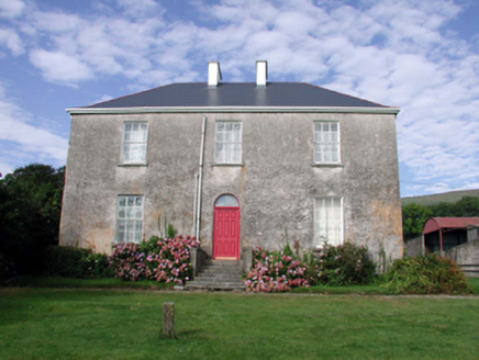 Mount KennedyHouse · 1154 yd
Explorer Tom Mount Kennedy is sick of people asking if there’s actually a Kennedy living inside or if it’s just a very confused…
 Castle (in ruins)House, 17th century · 1448 yd
Explorer Tom Castle in Barnankile was designed by a mother-in-law who thought a ditch between the house and the road was good…
 Standing stone in GlendalliganStanding stone · 1.2 mi
Explorer Tom Standing stone in Glendalligan is perched on a slope where the weather holds a long-standing grudge against its…
 Standing stone in CarrigmoornaStanding stone · 1.5 mi
Explorer Tom Standing stone in Carrigmoorna is shaped like a diamond, which makes it look like it’s trying to sell itself as jewelry…
 CastleCastle, unclassified · 1.6 mi
Explorer Tom Castle in Gortavicary would put 'emotionally unavailable and structurally unsound' on its dating profile right now. It…
 Horse-chestnut3.6 mi
Explorer Tom Horse-chestnut in County Waterford is sick of being asked if its fruits are actually edible, especially when they taste…
 Kilminnin GraveyardGraveyard · 4.4 mi
Explorer Tom Kilminnin Graveyard explains the 1800s to teenagers by saying it was basically Instagram but with worse lighting and…
 Kilgobnet CemeteryGraveyard · 4.4 mi
Explorer Tom Kilgobnet Cemetery was the last place the Vikings looked before giving up and going home to eat herring. They were…
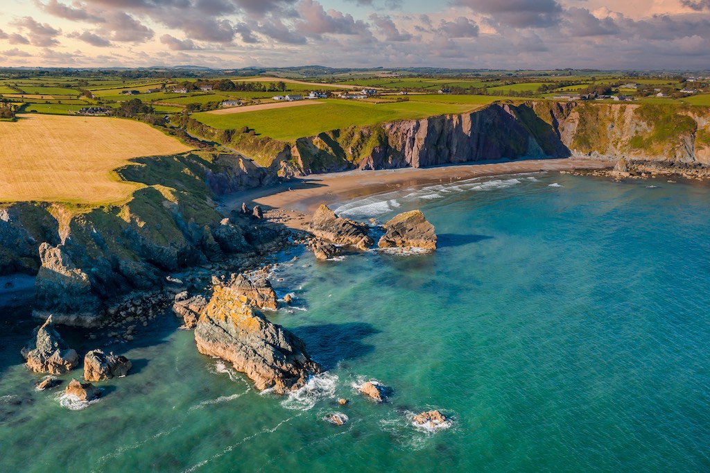 Shandon IslandIsland · 5.1 mi
Explorer Tom Shandon Island suspects the postman is stealing its letters and has started keeping a very suspicious dog on the shore…
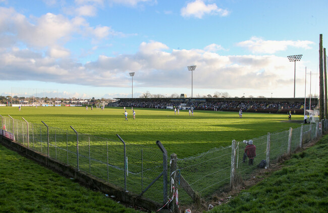 Fraher Field, Waterford GAAGAA ground · 5.3 mi
 Walton ParkPark · 5.4 mi
Explorer Tom Walton Park at Abbeyside gives Dungarvan a view across its bay and a lively starting point for the Waterford Greenway.…
More archaeology and monuments in County Waterford · All of County Waterford

What do you know about this place?Tap to add a comment or ask a question