DDiscover AloneMapAbout

Liagaun

Ogham stone
Computer-made picture that does not show LiagaunNot a photo of this monument
Computer-made picture. It does not show this monument. · Report the wrong picture

The monument record does not grant public access. Check the route and ask the landowner before entering private land.

What do you know about this place?Tap to add a comment or ask a question

What you write will be public.

What is recorded here

Embedded in the top of a barrow -unclassified (MA093-038002-), on its NE perimeter. The barrow crowns the NE end of a steep-sided ridge, in an area of undulating grassland. The location provides panoramic views, stretching to the far horizon in all directions, with Croagh Patrick visible in the distance to W, and…

Read the whole record
Embedded in the top of a barrow -unclassified (MA093-038002-), on its NE perimeter. The barrow crowns the NE end of a steep-sided ridge, in an area of undulating grassland. The location provides panoramic views, stretching to the far horizon in all directions, with Croagh Patrick visible in the distance to W, and Nephin Mountain to NW. At the base of the ridge, c. 150m to SE, there is natural depression of boggy, rush-grown ground, shown on the 1916 OS 6-inch map as a pool or small lake (max. dim. c. 100m) named ‘Loughsheebaun’. A ringbarrow (MA093-096----), now levelled, is located on an adjacent ridge top c. 200m to NNE. The barrow (MA093-038002-) consists of a low, circular earthen mound or platform (diam. 10m N−S; 10.6m E−W), with a well-defined perimeter scarp (H 0.6m). The top surface of the platform has a flattish perimeter rim (Wth 2-2.5m) grading seamlessly into a central, shallow hollow (diam. c. 2m; D c. 0.2-0.3m), which may not be an original feature of the barrow. The base of the ogham stone (MA093-038001-) is embedded in the top of the barrow on outer NE edge of the central hollow. The ogham stones consists of a massive block of stone (L 1.8m E−W; Wth 0.57-0.6m N−S; T 0.35m), which has a rectangular cross-section, straight sides which taper at the top to form an asymmetrical triangular peak, and an ogham inscription on the angles of the top and both sides of the E (or uppermost) face. The stone formerly stood upright, with its long axis aligned NNW−SSE, but when first recorded in 1898 it was already tilting to the W at an angle of 75 degrees, with ‘the apex at a height of five feet [1.5m] from the ground level.’ (Cochrane 1898, 401). Incremental tilting to the W has continued, to the extent that the stone is now almost prostrate; the base remains embedded in the top of the NE perimeter of the barrow, with apex/top now tilted to a height of 0.43m above the surface of the shallow, central hollow of the barrow. The ogham inscription is, therefore, on what now presents as the uppermost surface of the stone, formerly the E face when the stone was vertical. This face of the stone has a rather rough and weathered surface, with several irregularities and areas of possible flaking or chipping, particularly toward the apex/west end of the stone. The surface is moderately blotched with lichen. The lines and notches are, in general, sharply delineated, up to 1cm in width, with the lines measuring up to 10-12cm in length, but some variation is evident in the thickness and spacing of the scores. The scores on the narrow N and S sides of the stones appear somewhat better preserved than some of those on the more weathered broad face. (Jane O'Shaughnessy, field report) Macalister (1945, 5, no. 3) noted that although this inscription is 'injured by wear and chipping', the reading is 'certain': CUNALEGI AVI QUNACANOS.

From the National Monuments Service (Archaeological Survey of Ireland) record MA093-038001

Places near here

Photo credits
  • Maker not stated on source page, commons.wikimedia.org
  • Maker not stated on source page, www.irelandhighlights.com
  • Maker not stated on source page, www.mayo-ireland.ie
  • James Killeen / Mayo Football Talk, www.mft.ie
  • Mike Searle, Geograph · CC BY-SA 2.0
  • Maker not stated on source page, www.pinterest.com
  • Maker not stated on source page, monumentalireland.ie
  • National Inventory of Architectural Heritage
  • Golfing in Ireland; photographer not stated, Source publisher
Standing stone in BracklaghboyStanding stone · 312 yd

Explorer Tom Standing stone in Bracklaghboy is sitting on a ridge near Loughsheebaun, acting all mysterious. There’s a curse…

Fulacht fia in IslandFulacht fia · 1078 yd

Explorer Tom Fulacht fia in Island would tell you it’s a trendy spa, but it got levelled by reclamation. Now it’s just damp land…

Bridge in ToorareeBridge · 1322 yd

Explorer Tom Bridge in Tooraree is proud of being possibly just a horizontal mill pretending to be a bridge. It loves the confusion…

Ballyhaunis GAA ParkGAA ground · 1336 ydHouse in IslandHouse, fortified house · 1611 yd

Explorer Tom House in Island is currently being judged by rabbits who think its gunloops are just fancy holes for them to hide in.…

CastleCastle, unclassified · 1672 yd

Explorer Tom Castle on Island Lake hates when people ask if it’s haunted; it prefers ‘mysteriously absent’. It vanished so fast the…

Moated site in IslandMoated site · 1711 yd

Explorer Tom Moated site in Island almost got sold for a horse back in the day, but the farmer was too busy mucking out. It’s a…
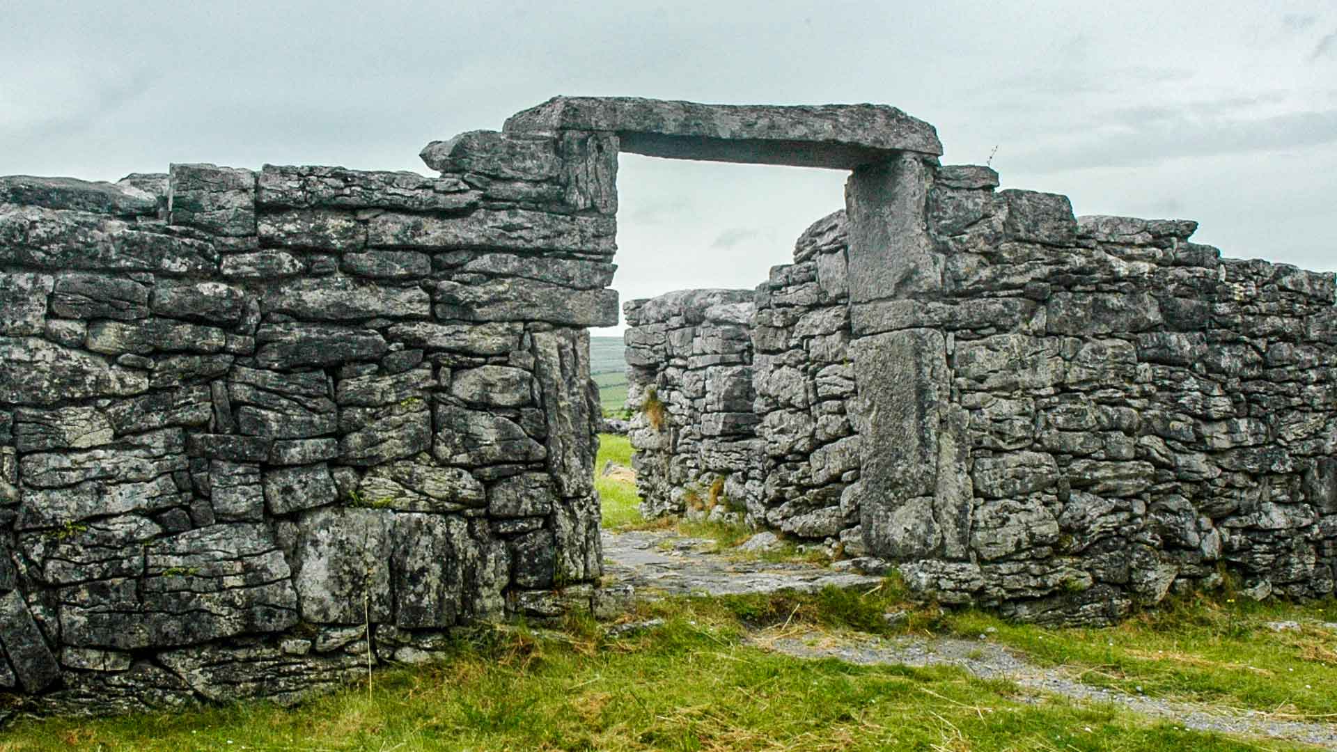
Fairy fort / earthen ringfort in Knockroe (costello By.)Fairy fort / earthen ringfort · 1.2 mi

Explorer Tom Fairy fort / earthen ringfort in Knockroe is planning to retire to the coast with a small boat. It’s already packing…
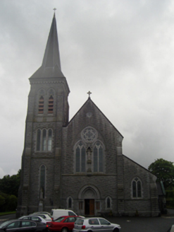
Saint Patrick's Catholic ChurchChurch/chapel · 1.4 mi

Explorer Tom Saint Patrick's Catholic Church in Hazelhill is aligned on an axis that isn’t quite right, which makes it feel like…

Ballyhaunis CourthouseCourt house · 1.5 mi

Explorer Tom Ballyhaunis Courthouse hears everything through its walls, including your bad excuses. It thinks it's much smarter than…

Graveyard in ChurchparkGraveyard · 1.8 mi

Explorer Tom Graveyard in Churchpark rates every visitor’s outfit from one to ten based on how muddy their boots get. It’s a strict…
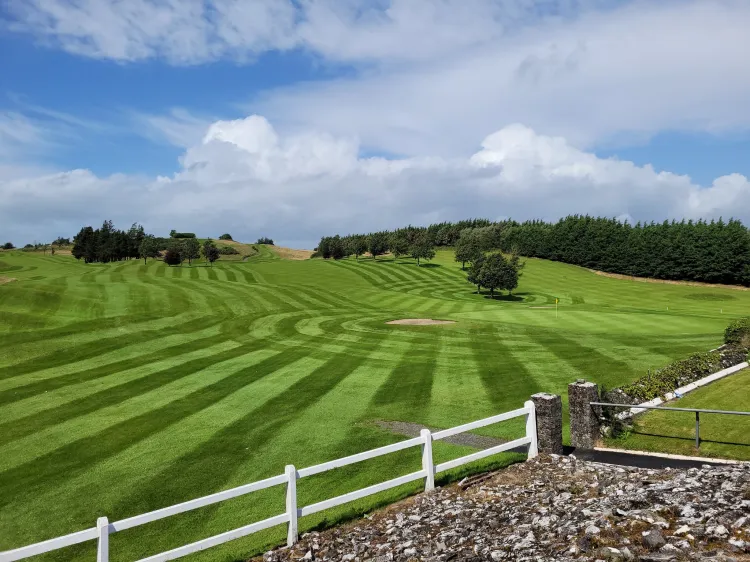
Ballyhaunis Golf ClubGolf course · 1.9 mi

More archaeology and monuments in County Mayo · All of County Mayo

Add to this placeAdd a picture Add a detailed tip Add a story

Explore the map1,095,414 places to discover

Next place · or swipeStanding stone in Bracklaghboy