What is recorded here
In gently undulating grassland, crowning the summit of a hill, close to a break of slope on the NE side where there is a steep and abrupt fall of ground. The hill affords extensive views that encompass Croagh Patrick on the far horizon to W and Nephin to NW. It overlooks a pool, now an area of boggy ground, which is located at the base of the slope c. 150m to SE. The pool is named ‘Loughsheebaun’ on the 1916 OS 6-inch map.
A slightly raised circular area (10m N–S; 10.3m E–W) defined by a raised rim (ext. H 0.8m at N, 0.6m at S) that slumps seamlessly into a concave interior (diam. 2.8m). An ogham stone (MA093-038002-) is set in the NE edge of the hollow. There is a low berm-like extension (Wth c. 1m; H 0.2m) at the external base of the barrow on the NE–E side. Another barrow (MA093-096----) is located c. 200m to NNE.
Compiled by: Jane O’Shaughnessy
Date of upload: 23 June 2022
The monument record does not grant public access. Check the route and ask the landowner before entering private land.
- What survives
- Recorded monument
Places near here
 IndicatedFairy fort / earthen ringfort · 874 yd
 CastleCastle, unclassified · 1671 yd
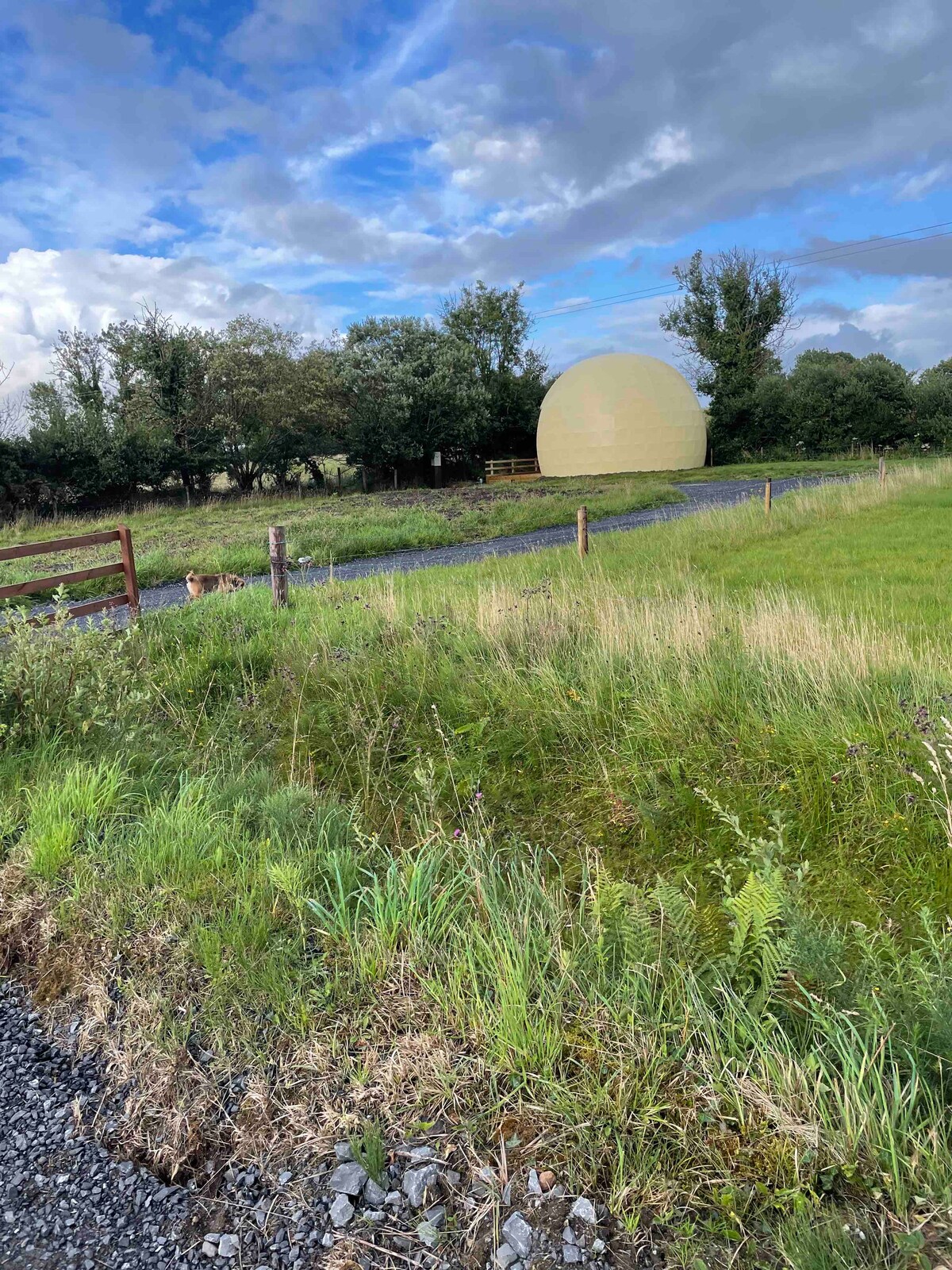 Enclosure in Larganboy EastEnclosure · 1.1 mi
 Saint Patrick's Catholic Churchpresbytery/parochial/curate's house · 1.4 mi
 Ballyhaunis Courthousecourt house · 1.5 mi
 Rath Castle in ruinsCastle, tower house · 4.7 mi
 Knock MuseumMuseum · 4.9 mi
 Knock ShrineHeritage attraction · 5.0 mi
 East Mayo Brigade MonumentMemorial · 6.5 mi
 Oak WoodForest · 9.3 mi
 I'll Send You The FareMemorial · 9.7 mi
 Geoffrey's WoodForest · 10 mi