What is recorded here
Situated on a very slight, broad rise in a level landscape. A local stone with a triangular cross-section (dims. 1.3m x 0.4m; H 3.8m) is oriented N-S. Nearby a second stone is lying prone (L 3.35m; Wth 0.6-0.76m; min. T 0.3m). Archaeological testing (04E0390) c. 90-130m to the W in Grennan townland produced no archaeological material (Scully, 2007).
Scully, O. (2007c) Greenan. No archaeological significance. in I. Bennet (ed.) Excavations 2004: summary account of archaeological excavations in Ireland, 425-6, No. 1677. Wordwell, Dublin.
The above description is derived from the published 'Archaeological Inventory of County Waterford' (Dublin: Stationery Office, 1999). In certain instances the entries have been revised and updated in the light of recent research.
Compiled by: Michael Moore.
Date of upload/revision: 21st December 2010.
Likely dating to the Neolithic or Bronze Age, the Liagans – Lissahane standing stone may have functioned as a territorial marker or ceremonial monument. No specific folklore or detailed use is recorded for this site.
The monument record does not grant public access. Check the route and ask the landowner before entering private land.
- What survives
- Recorded monument
Places near here
 Enclosure in Ardeenloun WestEnclosure · 907 yd
 Man-made underground passage in Ballygarran (middlethird By., Newcastle Par.)Man-made underground passage · 930 yd
 Site of CastleCastle, unclassified · 1491 yd
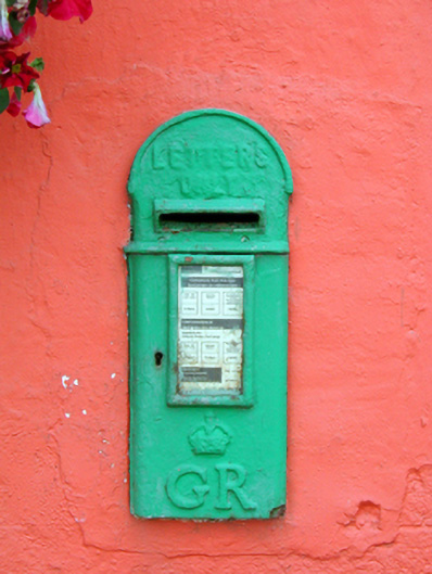 Historic buildingOfficially recorded historic building · 1.1 mi
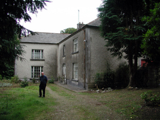 Knockaderry Househouse · 1.5 mi
 St. Martin's WellSpring · 3.1 mi
 St. Bernard's WellSpring · 3.5 mi
 Glenhouse WoodForest · 3.6 mi
 Site of Cas.Castle, unclassified · 4.0 mi
 8 Arch GalleryGallery · 4.1 mi
 Sargent's magnoliaSargent's magnolia · 4.8 mi
 Copper CoastCoastal geological landscape · 5.1 mi