What is recorded here
Close to the summit of a low ridge overlooking marshland to the SW. This standing stone (H 1.5m; base Wth 1.15-1.2m narrowing to 0.37-1m at top) consists of a granite slab, roughly rectangular in plan and leaning to the SW. Partly displaced, it is aligned NE-SW. (Gosling 1986, 17)
Compiled by: Galway Archaeological Survey, UCG
Date of upload: 13 December 2019
The monument record does not grant public access. Check the route and ask the landowner before entering private land.
- What survives
- Recorded monument
Places near here
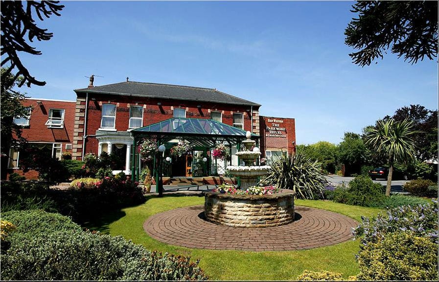 ParkmoreFairy fort / earthen ringfort · 336 yd
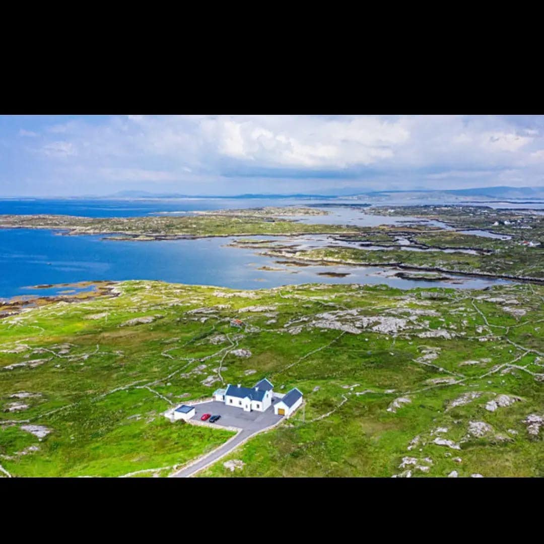 Enclosure in AhapouleenEnclosure · 397 yd
 CastleCastle, unclassified · 563 yd
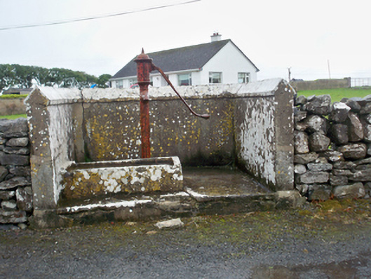 water pumpwater pump · 1022 yd
 Mary Kate'shouse · 1067 yd
 Ballynacourty Court (in ruins)Castle, hall-house · 1260 yd
 Plumbtree FortArchaeological place · 1.2 mi
 MweenisharanIslet · 1.6 mi
 Mweenish PointHeadland · 1.6 mi
 South WoodWood · 1.9 mi
 Mweenish IslandIslet · 1.9 mi
 Drumacoo Monastic SiteHeritage attraction · 2.4 mi