
What is recorded here
Magic and risk belong everywhere, but nowhere matters more than the places where people first saw the shape of the world.
In pasture, atop hill. Circular area (42.1m N-S; 42.7m E-W) enclosed by earthen bank (H 0.9m); external fosse (D 0.4m) SW-ESE. Gap (Wth 1.8m) in bank to E. Cultivation ridges cross interior on N-S axis; circular hut site (9.95m NW-SE; 7.8m NE-SW) (CO131-119001-) in S quadrant.
The above description is derived from the published 'Archaeological Inventory of County Cork. Volume 1: West Cork' (Dublin: Stationery Office, 1992). In certain instances the entries have been revised and updated in the light of recent research.
Date of upload/revision: 14 January 2009
The monument record does not grant public access. Check the route and ask the landowner before entering private land.
- What survives
- Recorded monument
Places near here
 Ardrah FortFairy fort / earthen ringfort · 1447 yd
 Durrus Church (in Ruins)Church · 1.0 mi
 Scart Castle (Site of)Castle, unclassified · 1.1 mi
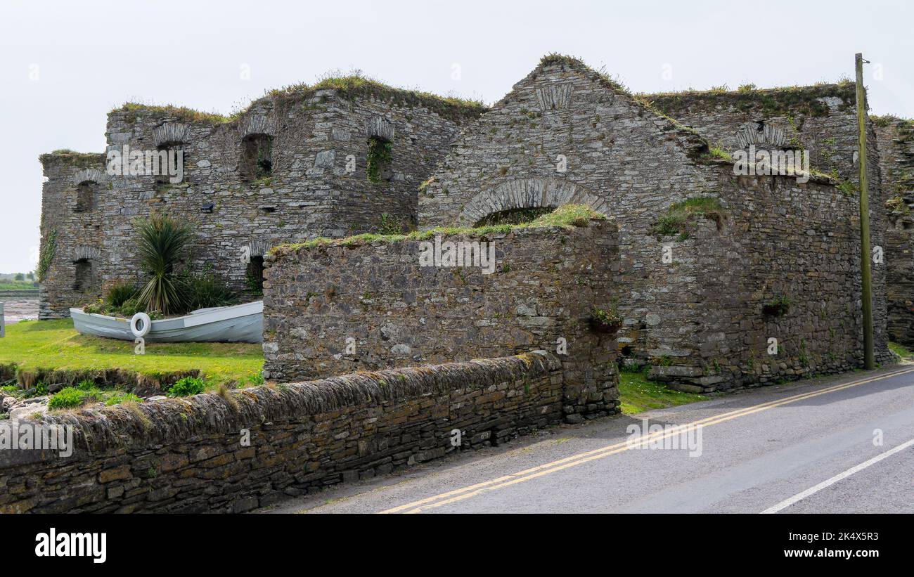 Scartbaun Burial Gd (Disused)Burial ground · 1.2 mi
 Barnageehy Loop WalkWalking route · 1.8 mi
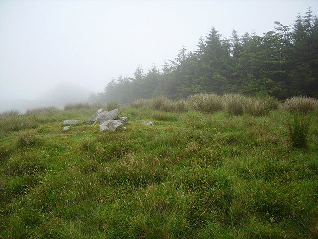 Derrylahard EastMountain / peak · 2.0 mi
 Maggie MurphysRuins · 2.0 mi
 Seskin ViewViewpoint · 2.2 mi
 Baugorm Castle (Site of)Castle, unclassified · 2.8 mi
 Mount KidMountain / peak · 2.8 mi
 GinkgoGinkgo · 3.0 mi
 Bantry HouseHeritage attraction · 3.1 mi
Other information
Photo: Credit not shown in the picture search · Rights wording not checked; contact us if this picture should be removed