What is recorded here
Scartbaun Burial Ground stands as a disused subrectangular mound in County Cork pasture, marked on the 1842 OS map but stripped of grave markers. Conifers now choke the raised earth, hiding the short masonry wall and standing stone at its north-west corner. The place keeps its dead beneath green growth instead of stone, forcing memory to work through soil and shadow rather than name.
Marked 'Scartbaun Burial Ground' on OS 6-inch map (1842). In pasture. Subrectangular raised area (18m N-S; 9.8m E-W) defined by scarp and now planted with conifers. Short run of masonry wall (L 2m) and standing stone (CO118-03702-) at NW corner. No grave markers noted.
The above description is derived from the published 'Archaeological Inventory of County Cork. Volume 1: West Cork' (Dublin: Stationery Office, 1992). In certain instances the entries have been revised and updated in the light of recent research.
Date of upload/revision: 14 January 2009
Portal dolmen; likely dates to the Neolithic or early Bronze Age. Its standing stone and masonry wall suggest ritual or funerary significance, typical of megalithic traditions in the region.
The monument record does not grant public access. Check the route and ask the landowner before entering private land.
- What survives
- Recorded monument
Places near here
 Scart Castle (Site of)Castle, unclassified · 241 yd
 Ardrah FortFairy fort / earthen ringfort · 773 yd
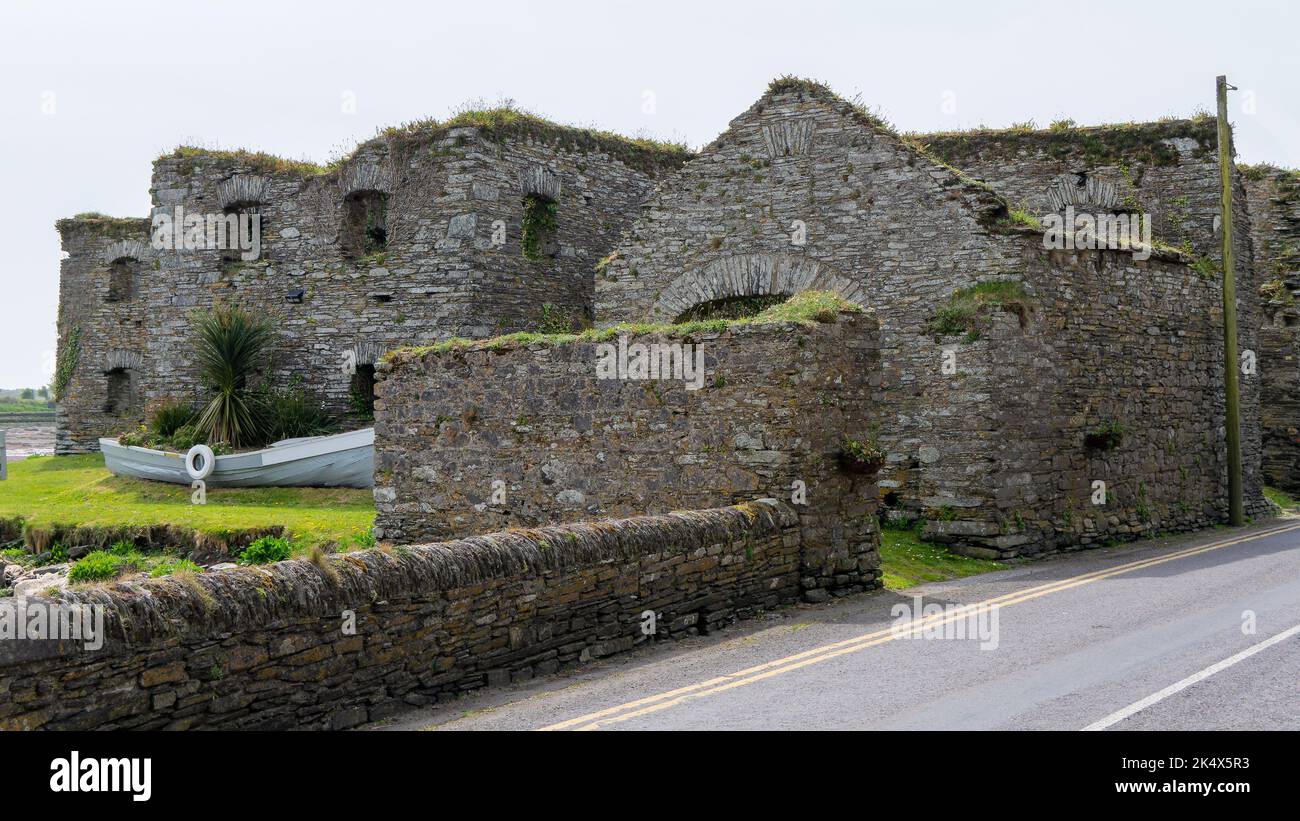
 Maggie MurphysRuins · 1576 yd
 Seskin ViewViewpoint · 1702 yd
 Radial-stone enclosure in BaurgormRadial-stone enclosure · 1.1 mi
 Durrus Church (in Ruins)Church · 1.5 mi
 GinkgoGinkgo · 1.9 mi
 Graveyard in TownlotsGraveyard · 1.9 mi
 Tourist OfficeVisitor information · 2.0 mi
 Statue of Wolfe ToneMemorial · 2.0 mi
 Bantry HouseHeritage attraction · 2.0 mi
 Baugorm Castle (Site of)Castle, unclassified · 2.1 mi
Other information
Photo: Credit not shown in the picture search · Rights wording not checked; contact us if this picture should be removed