What is recorded here
Leagaun is a weathered standing stone in County Limerick, Ireland, named on a 1928 map and still embedded in the front lawn of a modern bungalow. Its sub-oval body rises 1.4m, broad enough to touch but not tall enough to command attention. The house likely occupies an older boundary, kitchen garden or gathering place, while the stone outlived every wall around it. Lichen softens its edges, and ordinary life has grown up beside it instead of clearing it away.
In front lawn of modern bungalow. Stone (2.2m N-S; 1.85m E-W; H 1.4m) is sub-oval in plan with no distinct orientation. It is weathered and covered in lichens. Named 'Leagaun' on 1928 edition OS 6-inch map.
Compiled by: Denis Power
Date of upload: 12 November 2013
Leagaun is likely a prehistoric standing stone, potentially dating to the Neolithic or Bronze Age, and may have served as a territorial marker, ceremonial focus, or astronomical alignment point. No specific folklore or detailed local tradition is recorded for this site.
The monument record does not grant public access. Check the route and ask the landowner before entering private land.
- What survives
- Recorded monument
Places near here
 BoherleagaunRoad, road/trackway · 807 yd
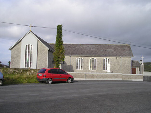 Saint Ailbe's Catholic Churchchurch/chapel · 976 yd
 Ballybricken Court (in ruins)Castle, tower house · 1334 yd
 Enclosure in BallyblakeEnclosure · 1550 yd
 BarrowBarrow, ring-barrow · 1721 yd
 Bawn in Ludden MoreBawn · 1.1 mi
 Banoge's WellSpring · 1.4 mi
 Skool HillMountain / peak · 1.5 mi
 Wych ElmWych Elm · 2.0 mi
 St Lawrence's WellSpring · 2.0 mi
 Grange Stone CircleArchaeological place · 3.6 mi
 Kilteely HillMountain / peak · 6.2 mi