
What is recorded here
From the National Monuments Service (Archaeological Survey of Ireland) record WI021-031
Places near here
Photo credits
- Digital Eye, Wikimedia Commons · CC BY-SA 4.0
- Maker not stated on source page, en.wikipedia.org
- National Inventory of Architectural Heritage
- Wanfried-Dublin, Wikimedia Commons · CC BY-SA 4.0
- Maker named on the Wikimedia Commons picture page · Public domain
- Maker not stated on source page, ca.pinterest.com
- Maker not stated on source page, www.dreamstime.com
 Druidical CircleStone circle, embanked · 380 yd
Explorer Tom Druidical Circle in Castleruddery Lower took about two hundred cups of tea to build, I reckon, just to keep the spirits…
 Memorial stone (present location) in UnknownMemorial stone (present location) · 615 yd
Explorer Tom Memorial stone in County Wicklow is currently playing hide-and-seek and has won so many times that nobody knows where…
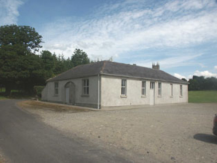 Donaghmore National SchoolSchool · 710 yd
Explorer Tom Donaghmore National School is pre-1830s and the seagulls say it looks like a giant birdhouse. It’s lost some windows…
 Castleruddery MotteArchaeological place · 719 yd
Explorer Tom Castleruddery Motte was built on a bargain where you gave up your sanity for a hilltop. It’s still waiting for the…
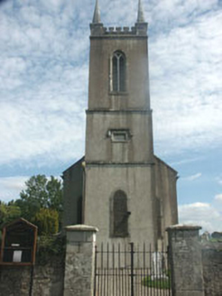 Donaghmore ChurchChurch/chapel · 814 yd
Explorer Tom Donaghmore Church is built on a local legend about a giant who tried to use the nave as a hatbox in 1711 and got his…
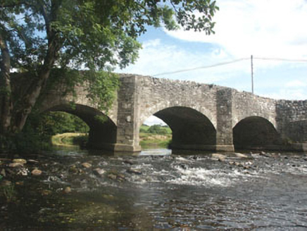 Ballyhubbock BridgeBridge · 855 yd
Explorer Tom Ballyhubbock Bridge is currently involved in a serious fairy dispute over who gets parking rights on the arch. The tiny…
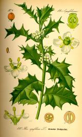 English holly911 yd
Explorer Tom English holly in County Wicklow is belting out 'Sweet Caroline' at full volume because it just found a tambourine. It’s…
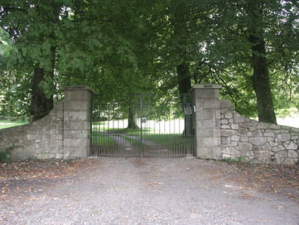 Castleruddery HouseCountry house · 1088 yd
Explorer Tom Castleruddery House in Castleruddery Lower has made its New Year's resolution: to stop pretending it’s bigger than it…
 George's BridgeBridge · 1542 yd
Explorer Tom George’s Bridge in Ballintruer More is proud of its large buttresses, which were probably added later because the…
 Castle in ruinsCastle, tower house · 1746 yd
Explorer Tom Castle in ruins in Ballintruer Beg has one wall standing proud while the rest are just foundations pretending to be…
 Stratford-on-Slaney GraveyardGraveyard · 1.6 mi
Explorer Tom Stratford-on-Slaney Graveyard has an imaginary twin across the sea that sends it postcards every Christmas, but nobody…
 Mapped cemeteryCemetery · 2.1 mi
Explorer Tom Mapped cemetery almost got sold off as prime grazing land for a single very angry horse who refused to eat anything but…
More archaeology and monuments in County Wicklow · All of County Wicklow

What do you know about this place?Tap to add a comment or ask a question