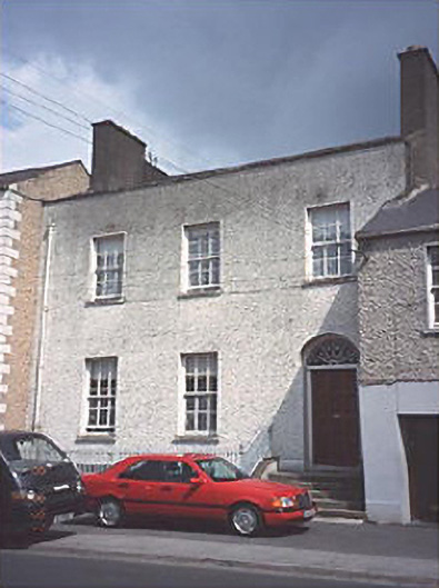
Places near here
Photo credits
- National Inventory of Architectural Heritage
- Portarlington GAA Club; photographer not named, portarlingtongaa.ie
- Mike Searle, Wikimedia Commons
- Kmcnamee, Wikimedia Commons · CC BY-SA 4.0
- Mike Searle, Wikimedia Commons · CC BY-SA 2.0
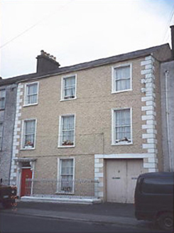 AlderOfficially recorded historic building · 13 yd
Explorer Tom Alder in Cooltedery, County Laois is basically a Victorian group chat with a carriageway. It thinks it’s got a…
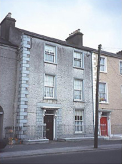 Ivy HouseOfficially recorded historic building · 21 yd
Explorer Tom Ivy House’s New Year's resolution is to finally get the ivy off its walls, though I’m not sure it has the energy for a…
CastleCastle, motte and bailey · 898 ydExplorer Tom Castle in Cooltedery would rate its visitors two stars for effort and five for mud stains. It’s a double motte, which…
 Portarlington GAAGAA ground · 1143 ydBog Lake WalkWalking route · 1.2 mi
Explorer Tom Bog Lake Walk is where a love story went badly wrong, with one partner slipping into the mud and blaming the other for…
 Carrick WoodWood · 1.2 mi
Explorer Tom Carrick Wood near Portarlington keeps a little surprise above the trees: a stone folly called the Spire. Follow the…
Bog Oak WalkWalking route · 1.3 miExplorer Tom Bog Oak Walk is hiding the secret of why the trees all look so grumpy, and I bet after a few pints it would confess to…
Burial ground in DerryvillaBurial ground · 1.4 miExplorer Tom Burial ground in Derryvilla would describe itself as 'a hilltop with views and some bones' if it were talking to a…
 Gracefield GAA pitchGAA ground · 1.4 miEnclosure in DerryvillaEnclosure · 1.5 mi
Explorer Tom Enclosure in Derryvilla, County Offaly was a burial ground that got accidentally discovered by quarry workers who…
Church (in Ruins), GraveyardChurch · 1.5 miExplorer Tom Tirhogar's Church sits on that high rise, watching the world go by while slowly crumbling into a pile of limestone dust…
 Lea Castle (in ruins)Castle, Anglo-Norman masonry castle · 1.6 mi
Explorer Tom Lea Castle has circular angle towers that look like they’re winking at you. A fox took charge last Tuesday and seemed…
More historic places in County Laois · All of County Laois

What do you know about this place?Tap to add a comment or ask a question