What is recorded here
In pasture, in gently undulating terrain dotted with small hillocks. It is situated towards the base of the WNW-facing slope of a rise, bordering the edge of a natural depression which is encircled by rising ground and small hillocks. Views are restricted.
Named ‘Laghtaconor’ on the 1838 and 1916 OS 6-inch maps, and recorded as ‘Druid’s Altar’ in the 1838 OS Name Books. A circular mound (5.6m E–W; 6.2m N–S; H 0.7m at W, 0.4m upslope side at E) with a gently domed profile. It appears to be predominantly earthen. A single hawthorn bush grows from N side, at the base of which is a small heap of field clearance stones. A similar heap of stones rests against the S side of the mound.
Compiled by: Jane O’Shaughnessy
Date of upload: 23 June 2022
Portal dolmen; dates to the Neolithic period (c. 4000–2500 BCE). Its location suggests it may have been part of a wider ritual landscape, though its specific significance remains unclear due to lack of detailed archaeological investigation.
The monument record does not grant public access. Check the route and ask the landowner before entering private land.
- What survives
- Recorded monument
Places near here
 IndicatedFairy fort / earthen ringfort · 1181 yd
 CastleCastle, unclassified · 1717 yd
 Enclosure in KilmanninEnclosure · 1.1 mi
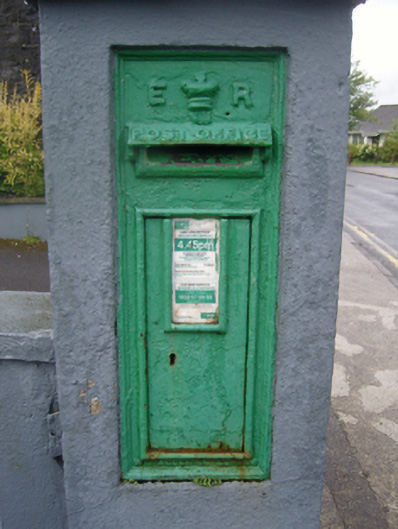 post boxpost box · 1.2 mi
 Saint Patrick's Catholic Churchpresbytery/parochial/curate's house · 1.2 mi
 Rath Castle in ruinsCastle, tower house · 4.6 mi
 East Mayo Brigade MonumentMemorial · 6.4 mi
 Land of the GiantsHeritage attraction · 9.7 mi
 Kiltimagh MuseumMuseum · 9.7 mi
 Oak WoodForest · 9.8 mi
 I'll Send You The FareMemorial · 10.0 mi
 Geoffrey's WoodForest · 11 mi